Jelenia Góra Valley
7.07
Overview
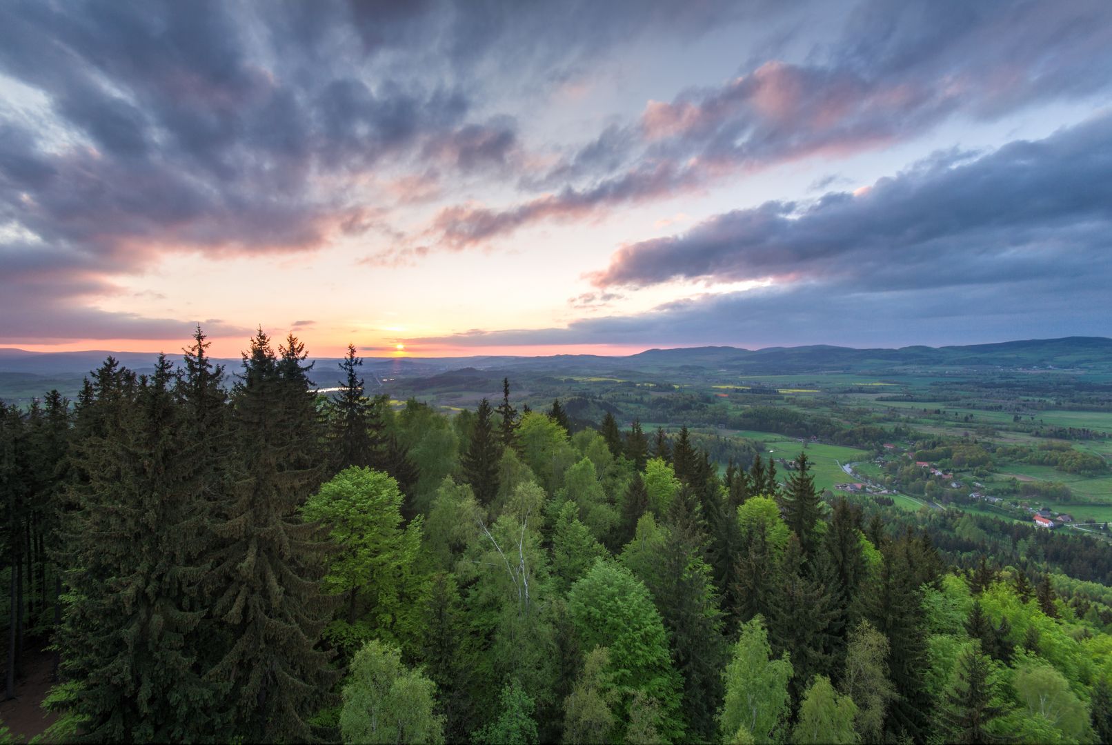
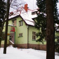
The Jelenia Góra Valley, located in southwestern Poland in the Lower Silesian Voivodeship, is a physical-geographical mesoregion surrounded by various mountain ranges, including the Karkonosze, the Kaczawskie Mountains, the Rudawy Janowickie, and the Izera Mountains. Covering an area of 273 km², the region features heavily altered vegetation with only small remnants of forests on hilltops and in valleys. Agricultural and settlement activities have significantly shaped the landscape, leading to the creation of fishponds and the Sosnówka Reservoir instead of natural peat bogs and meadows. Geologically, the Jelenia Góra Valley is primarily composed of Karkonosze granites that intruded into older rock formations. In addition to granite, Pleistocene deposits are found on the surface. The region is bounded by distinct geological borders and includes several microregions, such as the Jelenia Góra Depression and the Karpnickie Hills, which most researchers classify as part of the Rudawy Janowickie. Interestingly, the boundaries of the Jelenia Góra Valley have diverse origins—ranging from fault zones to denudational formations. The region's history is marked by intensive settlement and agriculture, which transformed its original landscape, as well as by its rich geology, attracting both geologists and tourists. The architecture of the valley, particularly in Jelenia Góra, reflects a regional style that may appeal to those interested in the city's culture and history.
Location
You can also find here:
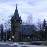
Karpacz
8.24
Karpacz Deanery
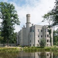
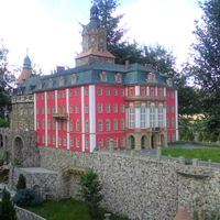
Karpniki Castle
7.86
Karpacz Deanery

Karkonosze National Park
7.17
Szklarska Poręba

Piechowice
7.09
Deanery of Szklarska Poręba
Beechwood
7.04
Karpacz Deanery
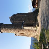
Henry's Castle
7.01
Kowary
6.96
Karpacz Deanery
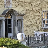
Staniszów Palace
6.93
Karpacz Deanery
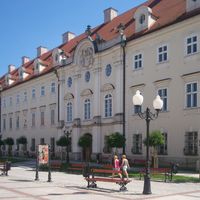
Schaffgotsch Palace in Cieplice
6.93
Jelenia Góra Zachód Deanery
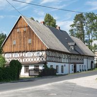
Janowice Wielkie
6.91
2026 Wizytor | All Rights Reserved