Kowary
6.96
Overview
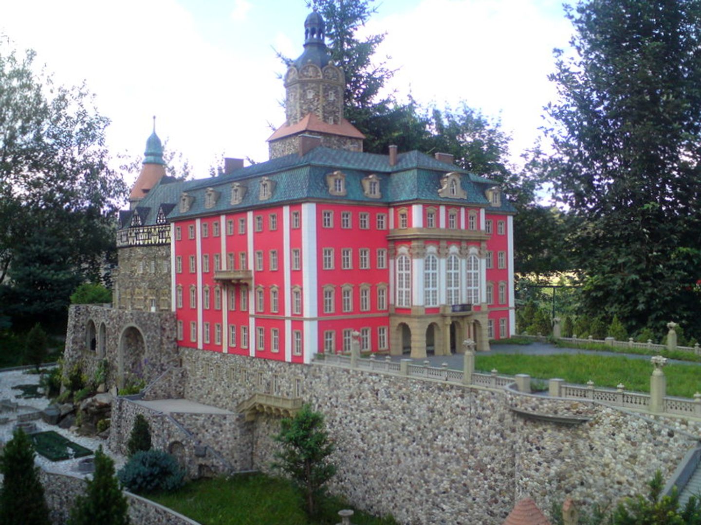
Kowary is a town in the Lower Silesian Voivodeship, situated on the border of the Karkonosze Mountains and the Rudawy Janowickie range, with a rich history tied to iron ore mining and blacksmithing dating back to the 12th century. Thanks to the discovery of iron ore by the Walloon miner Laurentius Angelus, the town began to develop and was granted municipal rights in 1513. In the 16th century, Kowary was a renowned center for weapon production, and in the 18th century, the textile industry flourished. Despite difficulties in the 18th and 19th centuries, including economic stagnation and wars, the town preserved its artisanal traditions. After World War II, Kowary became part of Poland, and in the 1940s and 1950s, secret uranium mining was conducted here. Modern-day Kowary is characterized by diverse architecture, with numerous historic sites such as the 15th-century Parish Church of the Blessed Virgin Mary, the neoclassical town hall from 1789, and the 16th-century Radociny Palace complex. The town is also a tourist attraction, offering places like the Museum of Sentiments, the Park of Miniatures of Lower Silesian Monuments, and the Underground Tourist Route "Sztolnie Kowary." Kowary also boasts a rich cultural offering, with the Municipal Cultural Center as the main institution and various sports sections at the Municipal Sports Club Olimpia. The town cooperates with numerous partner cities, both in Poland and abroad, fostering cultural exchange. With its picturesque location and diverse history, Kowary remains an important point on the map of Lower Silesia.
Location
2026 Wizytor | All Rights Reserved