Kłodawa
7.11
Overview
The municipality of Kłodawa, with its seat in the town of Kłodawa, is located in the Greater Poland Voivodeship, within the Koło County. In 2014, it was inhabited by 13,172 residents, accounting for 14.8% of the population of Koło County. The area of the municipality is covered by the Kłodawa Upland, featuring a plain landscape diversified by river valleys and hills. The municipality boasts rich natural resources, including deposits of rock salt and potash, with salt being mined at the Kłodawa Salt Mine. The main watercourse is the Rgilewka River, a right tributary of the Warta River.
Kłodawa Municipality has a rich history dating back to the first traces of settlement around 4000 years ago. The town of Kłodawa received its town rights in 1430, but its dynamic development was interrupted by wars, such as the Swedish Deluge in 1655. In the 19th century, the municipality experienced the partitions of Poland, which led to the loss of its town rights in 1867. In the 20th century, Kłodawa regained its town rights in 1925; however, the history of its inhabitants was tragic during World War II, marked by crimes against Jews and the Katyn massacre.
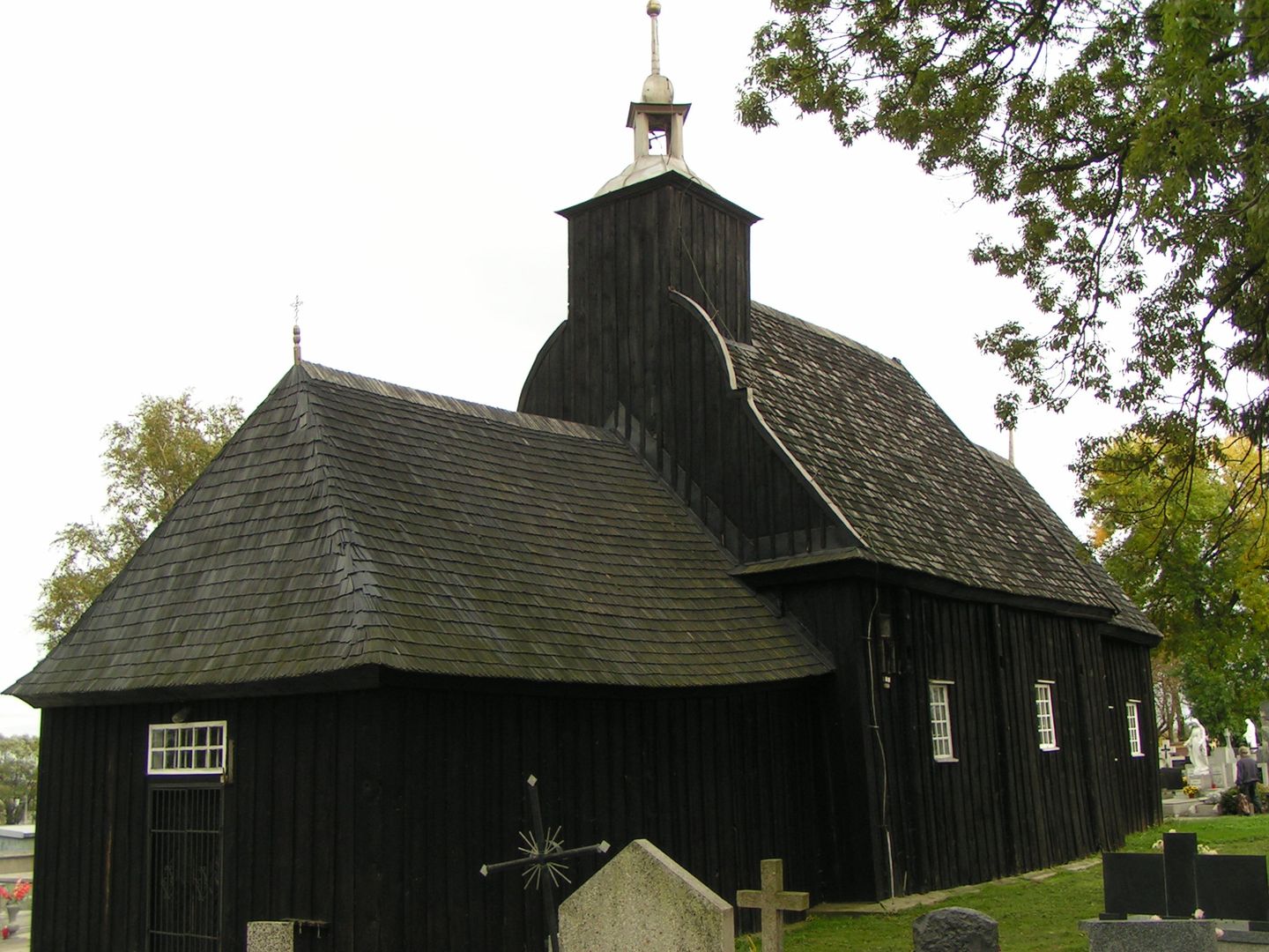
The municipality's heritage includes two parish churches that are part of the Włocławek Diocese, as well as historical sites related to education, such as a branch of the Kraków Academy. Transportation in the municipality is facilitated by National Road 92 and the Warsaw West–Poznań Main railway line. Interestingly, despite its small area, Kłodawa Municipality has a diverse demographic and social structure, with agricultural farms occupying about 90% of its territory. The municipality also plays an important role in the protection of local nature, evidenced by established natural monuments and a protected landscape area. Despite a decline in the number of schools due to educational reforms, local communities remain active in the fields of culture and education, contributing to the preservation of local traditions and history.
Location
You can also find here:
2026 Wizytor | All Rights Reserved