Lower Ochotnica
6.44
Overview
Ochotnica Dolna is a picturesque village located in the Gorce Mountains, in the Lesser Poland Voivodeship, within the municipality of the same name. Situated in the valley of the Ochotnica River, it is surrounded by the mountain ranges of Lubań to the south and Gorce to the north. The region is characterized by valleys of streams, such as Skrodny and Młynny, which are built up and occupied by fields. The village is connected to neighboring towns by a road running through the Knurowska Pass, which until recently was the only route for cars through the Gorce Mountains. Ochotnica Dolna, which together with Ochotnica Górna once formed the longest village in Poland, now has its record surpassed by Zawoja. Integral parts of the locality include numerous hamlets and other areas, highlighting its vastness and diversity.
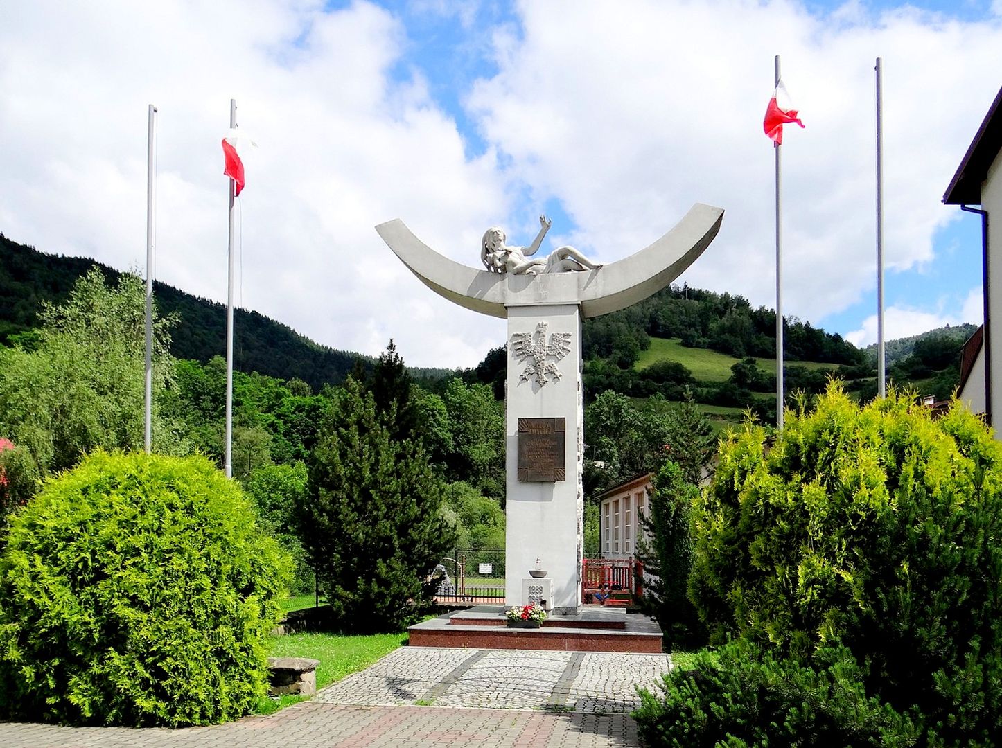
The village has preserved historical monuments such as a sawmill, a mill, and the Church of the Finding of the Holy Cross, which is listed in the register of immovable monuments. The architecture of the village combines traditional construction with modern elements, creating a unique cultural landscape. The history of Ochotnica Dolna is marked by tragic events, particularly on December 23, 1944, when German SS units pacified the village, murdering 51 residents and destroying many farms.
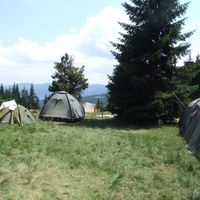
The region is popular among tourists, as evidenced by numerous hiking trails that traverse the attractive mountain areas, and the proximity to nature encourages outdoor recreation. It is also worth noting the local culture, traditions, and folklore, which are nurtured by the residents, as well as the annual events that attract visitors seeking authentic experiences.
Location
You can also find here:
2026 Wizytor | All Rights Reserved