Lubovnianska Highlands
7.04
Overview
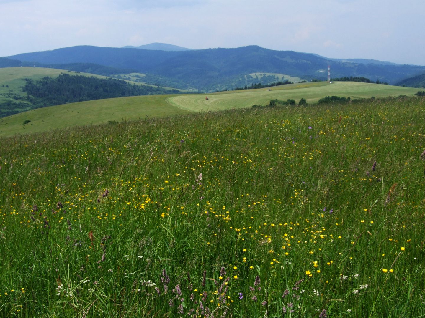
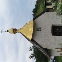
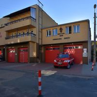
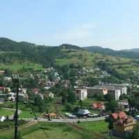
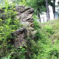
The Lubovnianska Vrchovina, also known as the Ľubovnianske Highlands or the Lubovla Range, is a mountain range situated on the Polish-Slovak border, primarily within the territory of Slovakia, between the towns of Piwniczna-Zdrój, Muszyna, and Stará Ľubovňa. The range takes its name from the town of Stará Ľubovňa (Lubowla in Polish), and in Polish geography, it corresponds to the Pogórze Popradzkie (Poprad Foothills). The region features diverse topography, with the boundaries of the range defined by stream valleys and the Poprad River, which separates the Lubovnianska Vrchovina from other mountain ranges. The main ridge of the range stretches approximately 25 km, with its highest peak being Eliášovka (Eliaszówka in Polish) at 1,023 meters. The terrain is characterized by low mountain relief, composed mainly of Carpathian flysch rocks and local limestone outcrops. The natural environment is dominated by spruce forests and picturesque meadows where cattle graze. Tourism in the region is limited, but it is worth visiting Ľubovniansky Castle (Zamek Lubowelski) and the Sanctuary of the Mother of God of Litmanová on Zvir Clearing. The villages of Legnava and Starina, with their preserved traditional wooden architecture, are also interesting places to explore. Although hiking trails are poorly marked, they offer opportunities to discover the scenic landscapes and natural beauty of the region. It is worth noting that the Lubovnianska Vrchovina is interesting as a meeting point of Polish and Slovak culture, which can be an attractive feature for tourists seeking unique experiences.
Location
2026 Wizytor | All Rights Reserved