Peasant's Will
6.26
Overview
Chłopska Wola, formerly known as Księże Kolano, is a village in the Podkarpackie Voivodeship, within the administrative district of Pysznica. It is characterized by its small population (164 inhabitants as of 2007). The village has the status of a *sołectwo* (a basic administrative unit in rural Poland) and is the smallest in the municipality.
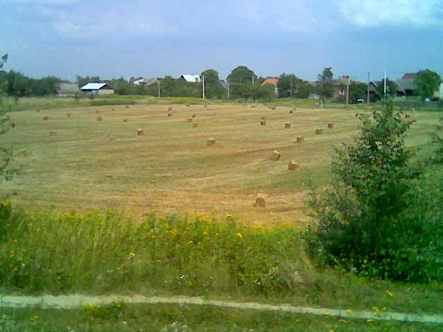
Situated in the picturesque fork of the San and Bukowa rivers, it has limited access to major transportation routes, resulting in poor connections to nearby towns such as Stalowa Wola. The village boasts a rich history dating back to the end of the 16th century when it was established as a hamlet of Charzewice. Its original name derives from a bend in the river (*kolano*) and Prince Lubomirski (*książę*). In 1950, the name was changed to Chłopska Wola.
For a long time, the village was closely tied to Rozwadów, which influenced its social and economic development. In the 19th century, the inhabitants were engaged in agriculture and beekeeping, and the clear bed of the San River played a significant role in local life. After World War II, residents began finding employment in the nearby industrial town of Stalowa Wola, leading to the disappearance of traditional rural architecture and an increase in urbanization.
Chłopska Wola has faced challenges related to flooding, which prompted the construction of flood embankments. Despite numerous difficulties, the village has retained its rural atmosphere, serving primarily as a residential area surrounded by fields. Local culture is strongly tied to Catholic heritage, and the village chapel holds historical significance.
An interesting fact is that despite its limited infrastructure, the village is fully equipped with water, gas, and sewage networks.
Location
2026 Wizytor | All Rights Reserved