Sobótka
6.55
Overview
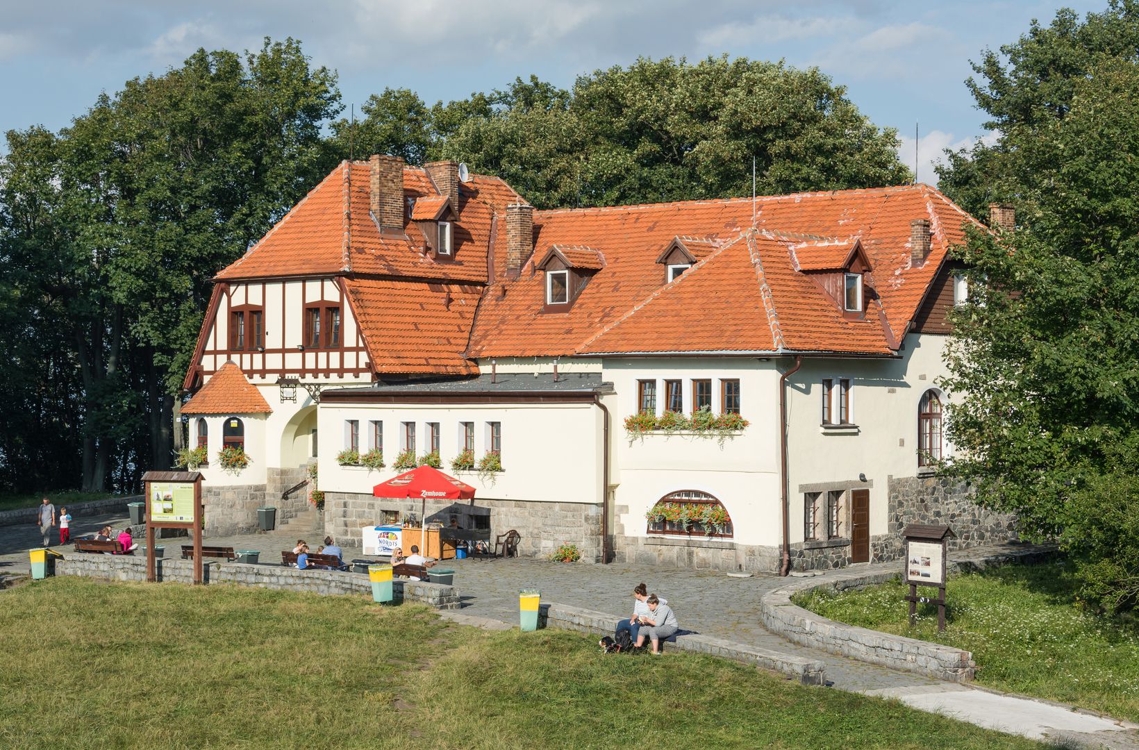
Ślęża is the highest peak of the Ślęża Massif and the entire Sudeten Foreland, rising to 717.5 meters above sea level. Despite its modest height, it stands out due to its significant relative elevation and impressive appearance. The mountain is located near Sobótka and is a popular tourist destination, with a dense network of hiking and cycling trails, as well as archaeological paths. At its summit, there is a viewing tower, and the history of Ślęża dates back to the Bronze Age when it was a center of solar worship. The area preserves stone sculptures associated with ancient beliefs, such as the "maiden with a fish" and the "bear," which have connections to Celtic culture. Over the centuries, Ślęża has undergone many changes – in the 12th century, a monastery for canons was founded at the summit, and in the 19th century, the mountain was visited by groups of Wrocław students. During the Nazi era, its name was changed to Siling, referencing the Silingi tribe. Ślęża is now protected as a landscape and geological reserve, and nearby there are monuments such as a church with panoramic views and the ruins of a medieval castle. The mountain is characterized by ophiolitic geology, and the extraction of mineral resources, including nephrite, granite, and serpentinite, took place from the Neolithic period until the 20th century. Ślęża also features in literature, inspiring many authors. It is a site of pilgrimage for Slavic native faith followers, underscoring its cultural significance.
Location
2026 Wizytor | All Rights Reserved