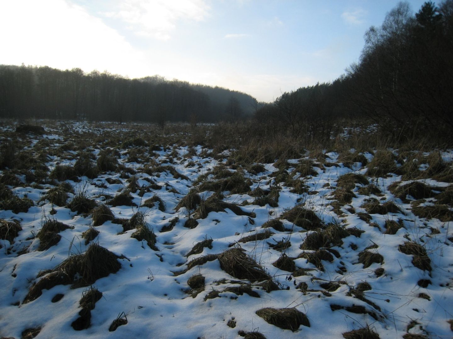
Wetland
6.43

Overview
Podmokła, known in German as Tiefengrundkamm, is a peak in the Jizera Mountains with an elevation of 1001 meters above sea level, located in the western part of the Wysoki Grzbiet (High Ridge). The peak is part of the Giant Mountains–Jizera block, which forms a contact zone between the granitoid massif of the Giant Mountains and the metamorphic rocks of the Jizera Mountains. The geology of Podmokła is diverse – its southern part features Carboniferous porphyritic granites, while the northern part contains ancient Paleozoic gneisses. The summit is also an important tourist point, traversed by two main trails: the Main Sudeten Trail and the route from Świeradów-Zdrój leading through the Izerska Hala (Jizera Glade) to Szklarska Poręba. These trails make Podmokła a popular destination among tourists, especially hiking enthusiasts, offering magnificent views of the surrounding landscapes. Although less renowned compared to more popular spots in the Polish Giant Mountains, the peak attracts nature lovers and tourists seeking tranquility and the charms of the natural world, while its geological richness provides an additional attraction for those interested in earth sciences.
Location
2026 Wizytor | All Rights Reserved