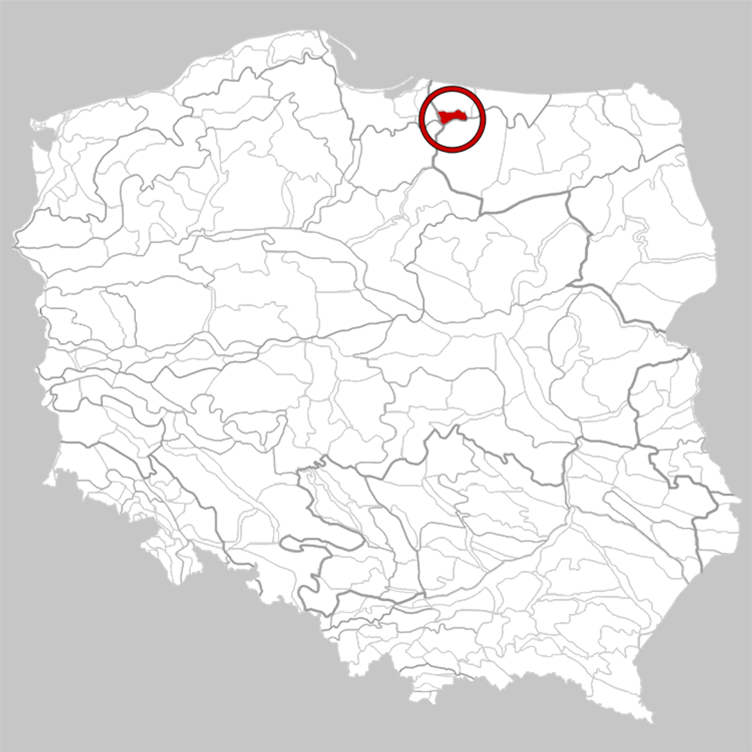
Równina Ornecka
6.51
W skrócie
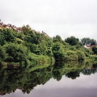
Równina Ornecka to mezoregion fizycznogeograficzny znajdujący się w północnej Polsce, a konkretnie w południowo-zachodniej części Niziny Staropruskiej. Geograficznie zaliczana jest do sandrów z okresu ostatniego zlodowacenia, co wpływa na unikalne ukształtowanie terenu oraz bogactwo przyrodnicze, w tym liczne jeziora. Równina Ornecka, obejmująca obszar około 225 km², graniczy z Wzniesieniami Górowskimi na północy, Niziną Sępopolską na wschodzie, Pojezierzem Olsztyńskim na południu i Równiną Warmińską na zachodzie. Tereny te są w przeważającej części porośnięte borami sosnowymi, z obecnością wąskiego pasa łęgu wzdłuż doliny Drwęcy Warmińskiej. Miasto Orneta, znajdujące się w obrębie Równiny, jest miejscem o bogatej historii. Miasteczko wyróżnia się architekturą, w której można dostrzec wpływy gotyckie, barokowe i renesansowe, a na szczególną uwagę zasługuje zabytkowy kościół św. Jana Chrzciciela oraz ruiny średniowiecznego zamku. Orneta ma znaczenie kulturowe jako miejsce, w którym krzyżują się różne tradycje, zarówno polskie, jak i pruskie, co odzwierciedla się w lokalnych festiwalach oraz wydarzeniach artystycznych, a także bogatej ofercie kulturalnej, w tym muzeach i galeriach. Równina jest również atrakcją turystyczną, oferującą liczne szlaki piesze i rowerowe, co sprzyja rekreacji oraz odkrywaniu piękna otaczającej przyrody. Ciekawostką jest, że obszar ten związany był z mamutami, zaś ślady ich bytności oraz innych gatunków prehistorycznych można odnaleźć w miejscowych znaleziskach paleontologicznych. Równina Ornecka to nie tylko interesujące miejsce pod względem przyrodniczym, ale również istotny punkt na mapie historycznej i kulturowej Polski, które warto odwiedzić.
Mapa
Miasto
Dekanat Górowo Iławeckie
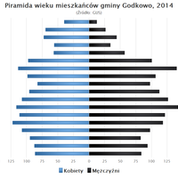
Gmina (III Jednostka administracyjna)
Lidzbark Warmiński
Powiat (II Jednostka administracyjna)
Powiat braniewski
Województwo (I Jednostka administracyjna)
Województwo warmińsko-mazurskie
Państwo
Polska


2026 Wizytor | Wszystkie prawa zastrzeżone