Łódź Hills Landscape Park
7.54
Overview
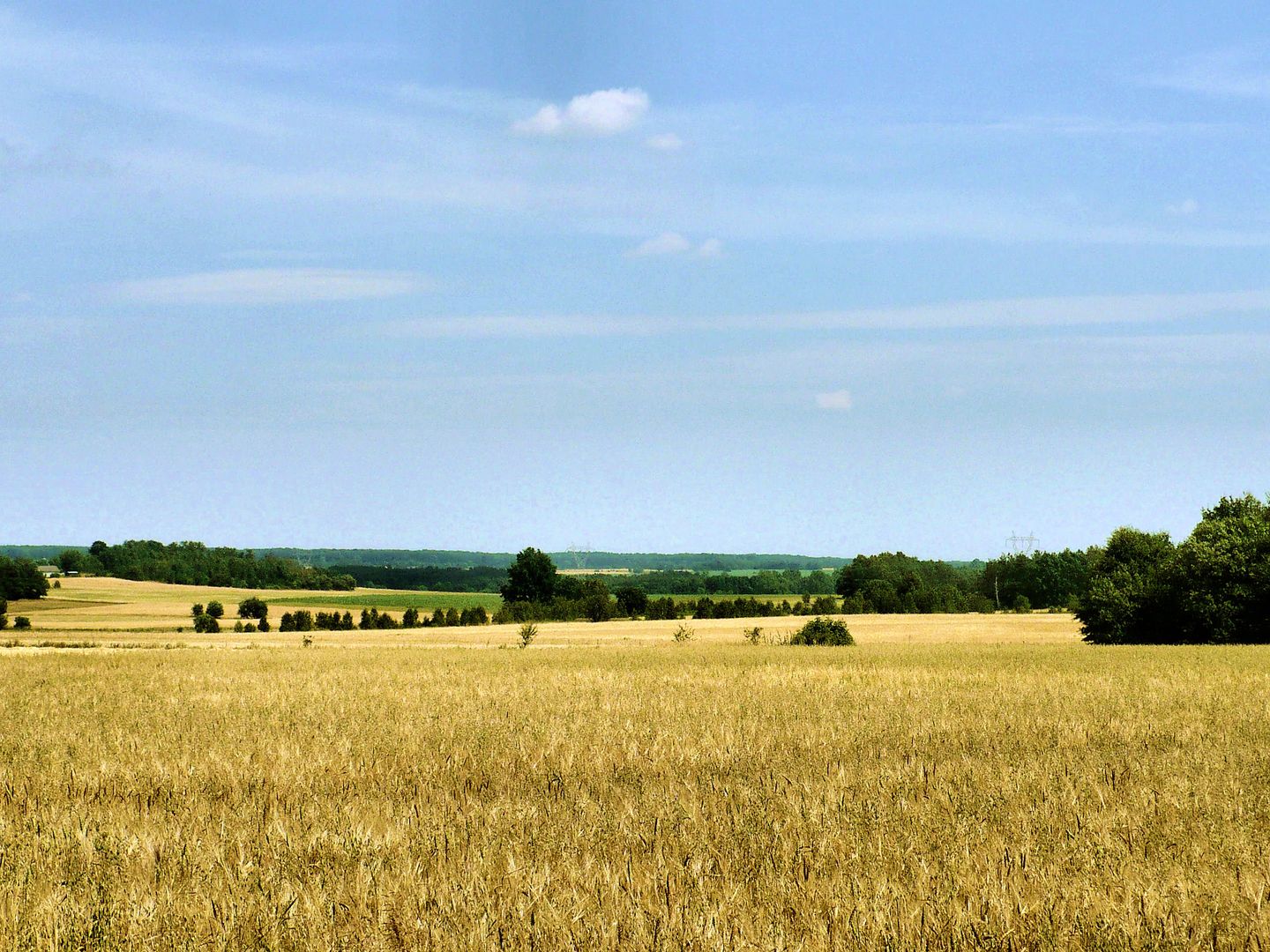
The Łódź Hills Landscape Park, established on December 31, 1996, in the Łódź Voivodeship, covers an area of 11,580 hectares, with an additional buffer zone of 3,083 hectares. Its boundaries were defined in 1994 to protect the unique upland landscapes characteristic of the marginal zone of the Łódź Hills. The park is situated between Łódź, Brzeziny, and Stryków, in a region with significant elevation variations—the highest point is Radar Hill, reaching 284.1 meters above sea level, while the lowest, the Mrożyca River valley, drops below 150 meters above sea level.
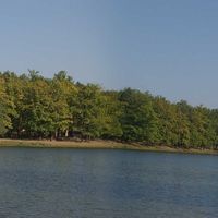
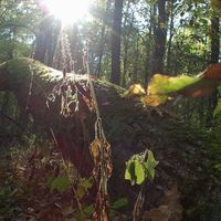
Forests cover approximately 28% of the park's area, making it a home to many rare plant and animal species, including bats, as well as several species of amphibians and birds that are resilient to environmental changes. The park features valuable forest complexes, such as the Łagiewnicki Forest and the Janinowski Forest, which serve as habitats for numerous rivers and streams and host areas of reed beds and peatlands.
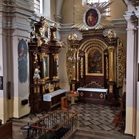
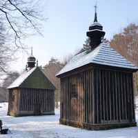
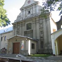
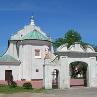
In cultural terms, the park is rich in historical sites, including a medieval stronghold, a classicist manor in Byszewy, manor parks, and various religious buildings in nearby towns. Interestingly, the area is also home to glacial erratics—boulders with geological significance that serve as witnesses to bygone eras. The park is also a tourist attraction, offering well-marked hiking and cycling trails, making it ideal for recreation and environmental education amid beautiful landscapes.
Location
You can also find here:

2026 Wizytor | All Rights Reserved