Łomaska Concavity
6.82
Overview
The Łomaska Depression is a physiographic mesoregion in eastern Poland, situated mainly in the northern part of Western Polesie and bounded to the north by the valley of the Krzna River. This area, stretching between the Kodeń, Łuków, and Parczew Plains, is an example of a latitudinal depression formed by the outflow of glacial waters at the end of the Middle Polish glaciation. The Łomaska Depression is characterized by sandy, marshy areas with accumulations of fluvioglacial sediments, including sands, gravels, and peat-covered plains. Unique outcrops of older Pleistocene sediments can be found here, which are home to a rich malacofauna. The Zielawa River is the main watercourse flowing through the eastern part of the region, where the beds of the Krzna River and its tributaries are largely regulated. Soils in the region are diverse, dominated by rusty and podzolic soils, and its biodiversity includes mixed coniferous forests and oak-hornbeam forests. Major towns such as Łomazy, Drelów, and the nearby Biała Podlaska and Międzyrzec Podlaski form the local settlement structure. The region is also home to the Omelno Nature Reserve, which protects lime-oak forests. The Łomaska Depression is not only a geographically interesting area but also a place where the cultures and history of eastern Poland intersect, creating a unique landscape.
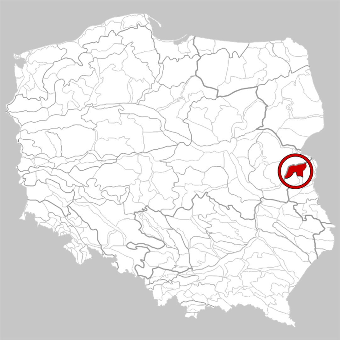
Location
You can also find here:
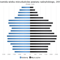
Radzyń County
7.57

Piszczak
7.47
Biała Podlaska - North Deanery

White Podlaska
7.28
Biała Podlaska - North Deanery

St. Anne's Parish in Biała Podlaska
7.17
Biała Podlaska - South Deanery

Lomazy
7.07
Biała Podlaska - North Deanery

White Podlaska
7.01
Łosice Deanery

Międzyrzec Podlaski
6.96
Łosice Deanery

Tuczna
6.9
Biała Podlaska - South Deanery

Radzyń Podlaski
6.84
Church of Our Lady of the Rosary in Ortel Królewski
6.8
Biała Podlaska - South Deanery
2026 Wizytor | All Rights Reserved