Ślęża Landscape Park
6.69
Overview
The Ślęża Landscape Park, established on June 8, 1988, covers an area of 15,640 hectares, of which 8,190 hectares constitute the park itself, and 7,450 hectares form its buffer zone. It is located in the Lower Silesian Voivodeship and encompasses the Ślęża Massif, Mount Radunia, as well as the Oleszeńskie and Kiełczyńskie Hills. The park aims to protect the natural environment and preserve the cultural and historical values associated with this region.
The park is predominantly forested (67% of its area) and is home to numerous species of plants and animals. The flora is characterized by the presence of 25 protected and rare plant species, while the fauna includes many interesting species such as the alpine whorl snail, brown trout, and spotted nutcracker. Within the park, there are also 21 natural monuments, primarily oaks and linden trees, and three nature reserves: Mount Ślęża, Mount Radunia, and the Sulistrowicka Meadow.
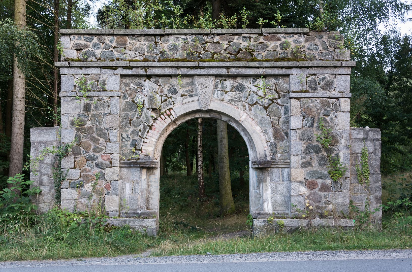
The park offers five hiking trails, two archaeological routes, and three educational paths, making it an attractive destination for relaxation and nature exploration. The region also features historic palace and park complexes, which add to the area's historical and cultural value. Thanks to its rich biodiversity, the park attracts tourists and nature enthusiasts alike.
Location


2026 Wizytor | All Rights Reserved