High Mazovian Plateau
6.61
Overview
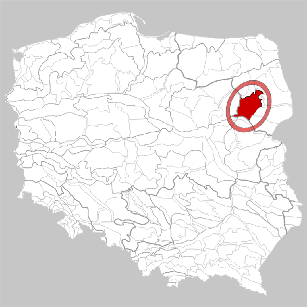
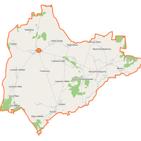
The Wysokie Mazowieckie Plateau is a physiographic region in Poland, forming part of the North Podlasie Lowland and covering an area of approximately 2,430 km². Situated between the Biebrza Basin and the Narew River valley, it features characteristic undulating landscapes shaped by moraines and gravel hills, reaching elevations of up to 172 meters above sea level. The Mianka River, which flows into the Nurzec, marks the southern boundary of the area.
The Wysokie Mazowieckie Plateau is part of a broader geographical system that also includes the Białystok Plateau and the Kolno Plateau. The region is characterized by agricultural land and significant forest complexes. Its economy is primarily based on the cultivation of wheat and potatoes, with dairy cattle farming playing a major role.
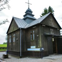
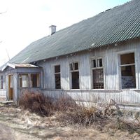
A high population density has contributed to the development of towns such as Zambrów, Łapy, and Wysokie Mazowieckie. Historically, the area boasts rich traditions that reflect its past, evident in local architecture, including religious buildings and rural wooden structures.
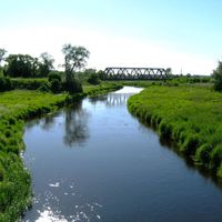
The Wysokie Mazowieckie Plateau is also known for its natural attractions, such as numerous rivers and valleys that provide habitats for diverse flora and fauna. Additionally, the region is celebrated for its cultural heritage and local customs, preserved and passed down through generations by its inhabitants.
Location


2026 Wizytor | All Rights Reserved