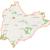
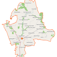
Wysokie Mazowieckie County
8.3
Overview
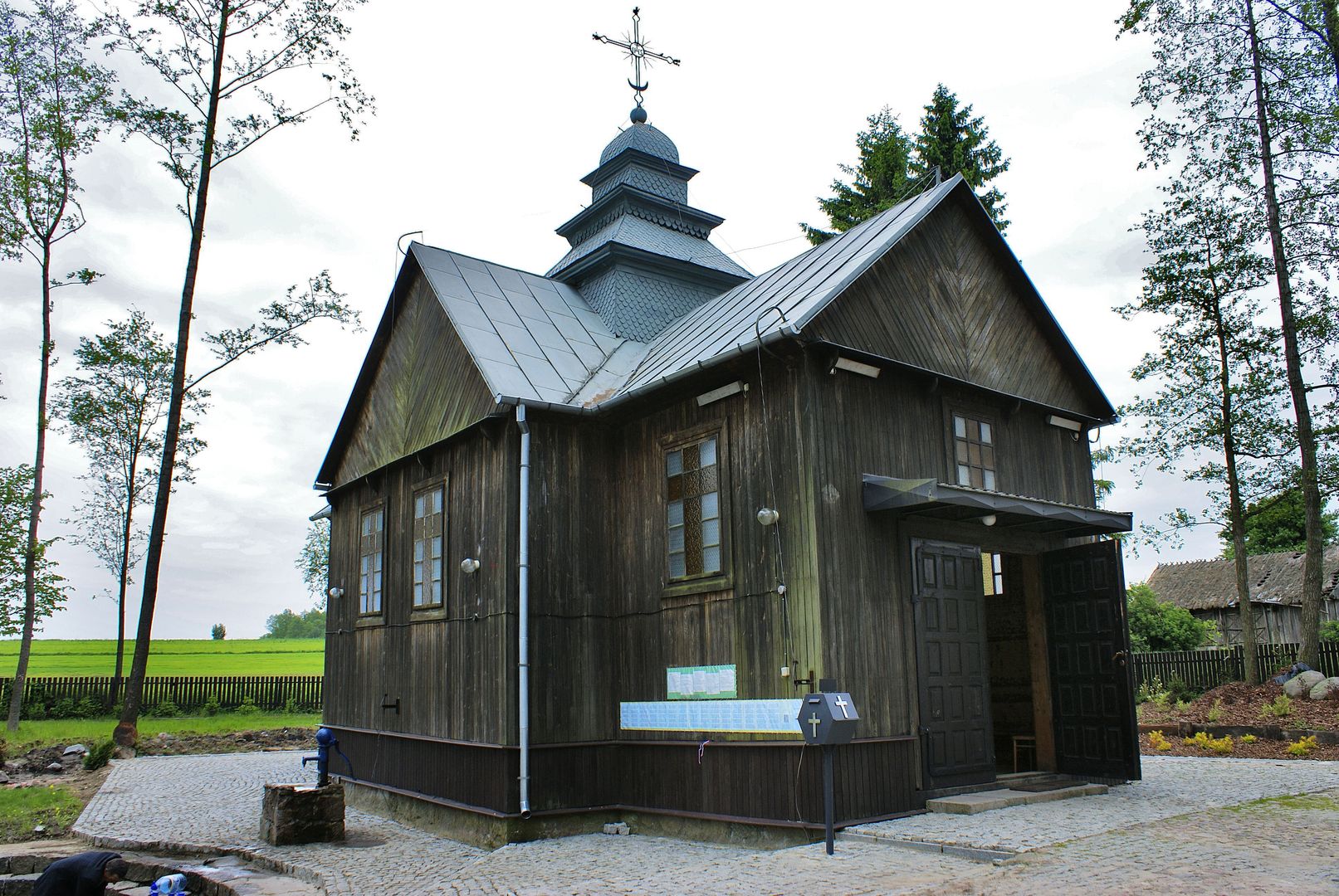
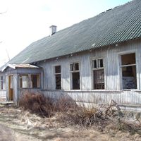
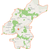
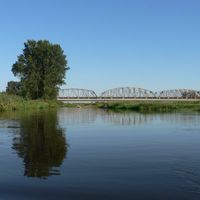
Wysokie Mazowieckie County, established in 1999 as part of the administrative reform, is located in the Podlaskie Voivodeship, with the town of Wysokie Mazowieckie serving as its seat. It is characterized primarily by its agricultural nature, with a predominantly rural population, highlighting its agrarian traditions. The county lies on the Wysokie Mazowieckie Plateau, surrounded by the Narew and Bug river valleys; its area is 1,288 km², most of which is agricultural land. The region features small moraine hills and natural wetlands, with native rivers being the dominant feature, though they do not form larger water reservoirs. The history of the county dates back to the partitions of Poland when, in 1867, the Mazowiecki County was created from part of the Łomża County. After World War I, it underwent numerous administrative changes, eventually becoming part of the Białystok Voivodeship. During the interwar period, the county had a well-developed education network, influenced by the presence of municipal and private schools, including Jewish institutions. An interesting fact is the activity of secret teaching during World War II, which encompassed many towns in the region. The county also experienced significant changes in road and railway infrastructure, with key routes connecting Wysokie Mazowieckie with Białystok and Warsaw. The modern cultural offerings of the county include various local initiatives and media, such as the Wysokomazowiecki Internet Portal eWysMaz.pl. The region's value also lies in its numerous architectural monuments, reflecting its rich cultural heritage. Wysokie Mazowieckie, with its developing infrastructure and agricultural traditions, is becoming an increasingly significant point on the map of Podlasie, blending history with modernity.
Location


2025 Wizytor | All Rights Reserved