Jasło County
7.01
Overview
Jasielski County, established in 1999, is located in the Podkarpackie Voivodeship, with its seat in the city of Jasło. This industrially and agriculturally oriented region encompasses parts of the Ciężkowickie Foothills, Strzyżowskie Foothills, and the Jasło-Krosno Basin. Within its borders lies the Magura National Park, and the rivers Wisłoka, Jasiołka, and Ropa flow through the county. Jasło and the county were part of the Central Industrial Region of the Second Polish Republic, which significantly influenced the development of industry in the area. Demographically, by the end of 2019, the county had a population of 113,450, which decreased to 113,226 in 2020. Administratively, the county consists of urban municipalities (Jasło), urban-rural municipalities (Kołaczyce), and rural municipalities (including Brzyska, Dębowiec, and Krempna). In terms of transportation, Jasielski County is situated at a crucial crossroads of communication routes, with national roads 28 and 73, and voivodeship road 988. An important part of the infrastructure includes railway lines opened in the 19th century, highlighting their historical significance. Over the years, the starosts (county administrators) of Jasielski have represented various political groups, reflecting the political changes in the region. Neighboring counties include Dębicki, Strzyżowski, and Krośnieński. With its rich history, diverse landscapes, and numerous attractions, Jasielski County offers an intriguing area to explore the cultural and natural treasures of the Podkarpacie region.
Location
You can also find here:
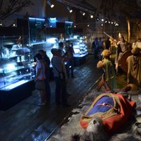
Archaeological Open-Air Museum "Carpathian Troy" in Trzcinica
7.35
Trzcinica
Jasło
7.24
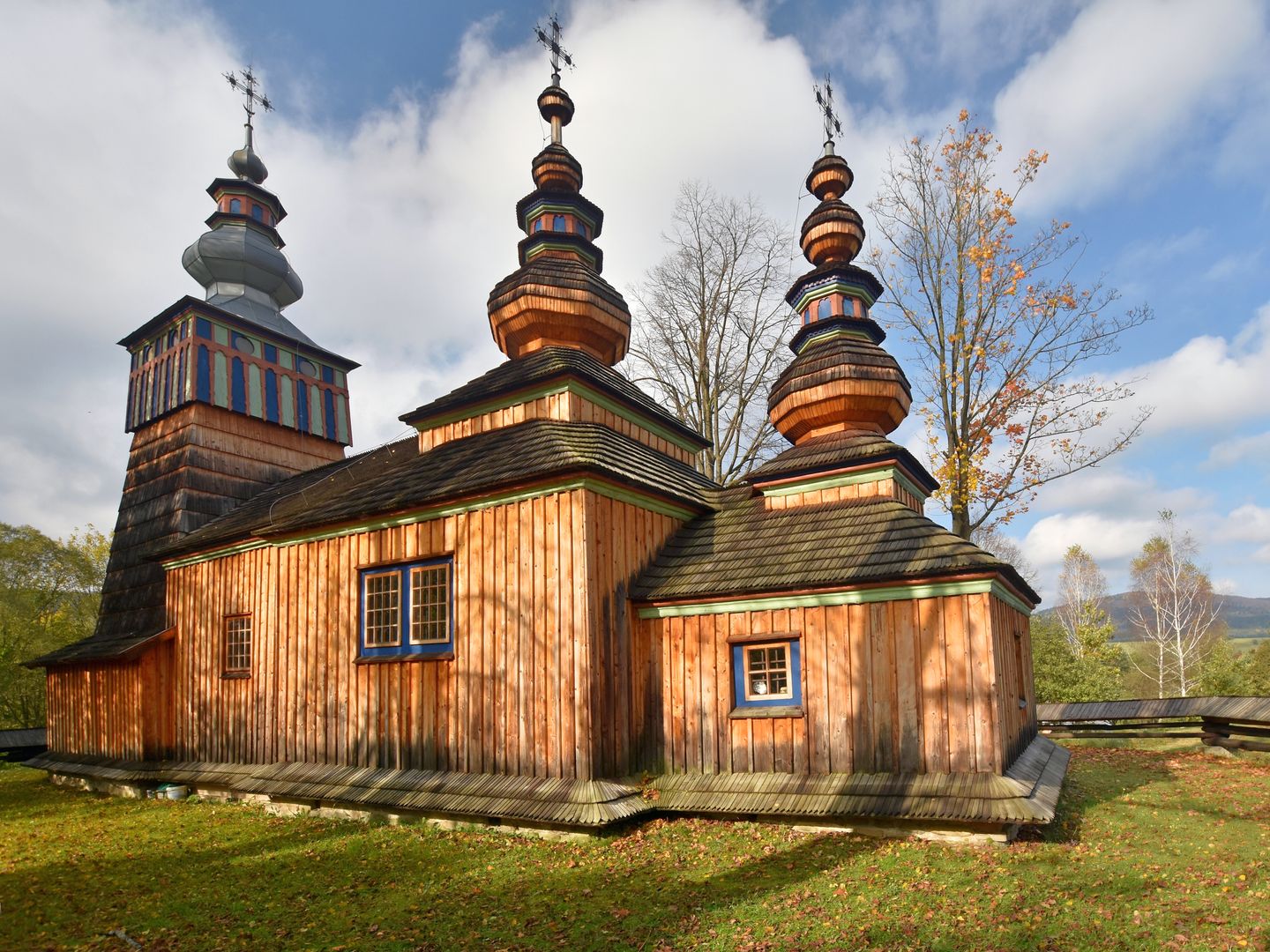
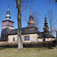
Church of St. Michael the Archangel in Świątkowa Wielka
6.99
Nowy Żmigród Deanery
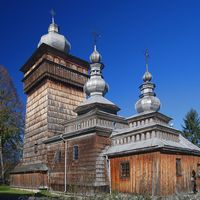
St. Michael the Archangel Church in Świątkowa Mała
6.93
Nowy Żmigród Deanery

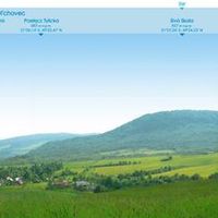
Jasliski Landscape Park
6.88
Harklowa
6.84
Nowy Żmigród
6.81
Nowy Żmigród Deanery

The Church of the Name of Mary in Bączal Dolny
6.78
Lower Bączal
Low Beskids
6.78
Nowy Żmigród Deanery
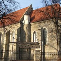
The Collegiate Church of the Assumption of the Blessed Virgin Mary in Jasło
6.78
Jasło
2026 Wizytor | All Rights Reserved