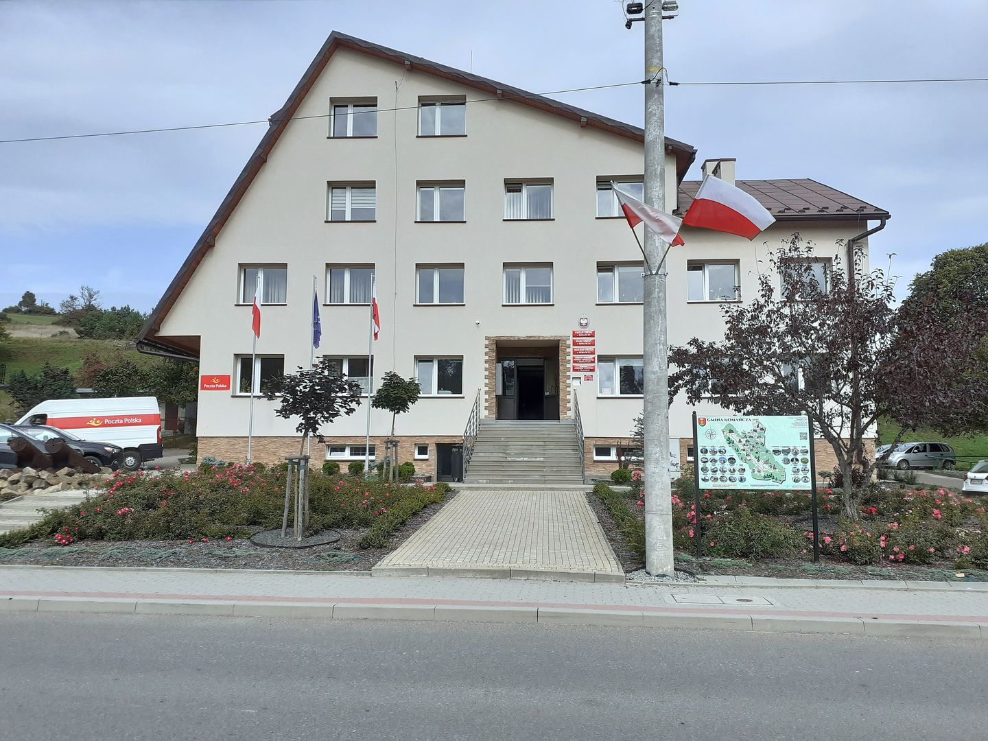
Komańcza
7.12
Overview
The municipality of Komańcza, located in the southern part of the Podkarpackie Voivodeship, is known for the beautiful landscapes of the Low Beskids and Bieszczady Mountains. The seat of the municipality is the town of Komańcza, which serves as an important center of local culture and history. As of June 30, 2023, the municipality has a population of 4,170, of which 10.5% identified as Ukrainian in the 2011 census. The municipality covers an area of 387.72 km², with forests dominating the landscape, occupying 74.5% of the territory, while agricultural land accounts for about 23%. The area is also rich in natural heritage, partly located within two landscape parks: the Ciśniańsko-Wetliński Park and the Jaśliski Park.
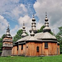
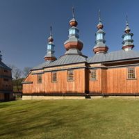
From a historical perspective, Komańcza witnessed intense fighting during the conflict with the Ukrainian Insurgent Army (UPA) between 1944 and 1947. On May 1, 1946, 50 farms were destroyed by the UPA. It is also worth noting that the municipality is home to the Lemko people, who preserve the traditions of the Eastern Beskid highlanders. The municipality consists of 13 village districts, including Czystogarb, Rzepedź, Smolnik, and Nowy Łupków, as well as several smaller settlements such as Duszatyn and Jawornik. Architecturally, the region is distinguished by its wooden Orthodox churches and buildings typical of mountain villages.
In 2017, several settlements were detached from the municipality and incorporated into the neighboring municipality of Jaśliska, which altered its administrative structure. The municipality of Komańcza borders other municipalities such as Baligród, Cisna, and Rymanów, as well as the Prešov Region in Slovakia, highlighting its unique location.
Location


2025 Wizytor | All Rights Reserved