Sanna
6.64
Overview
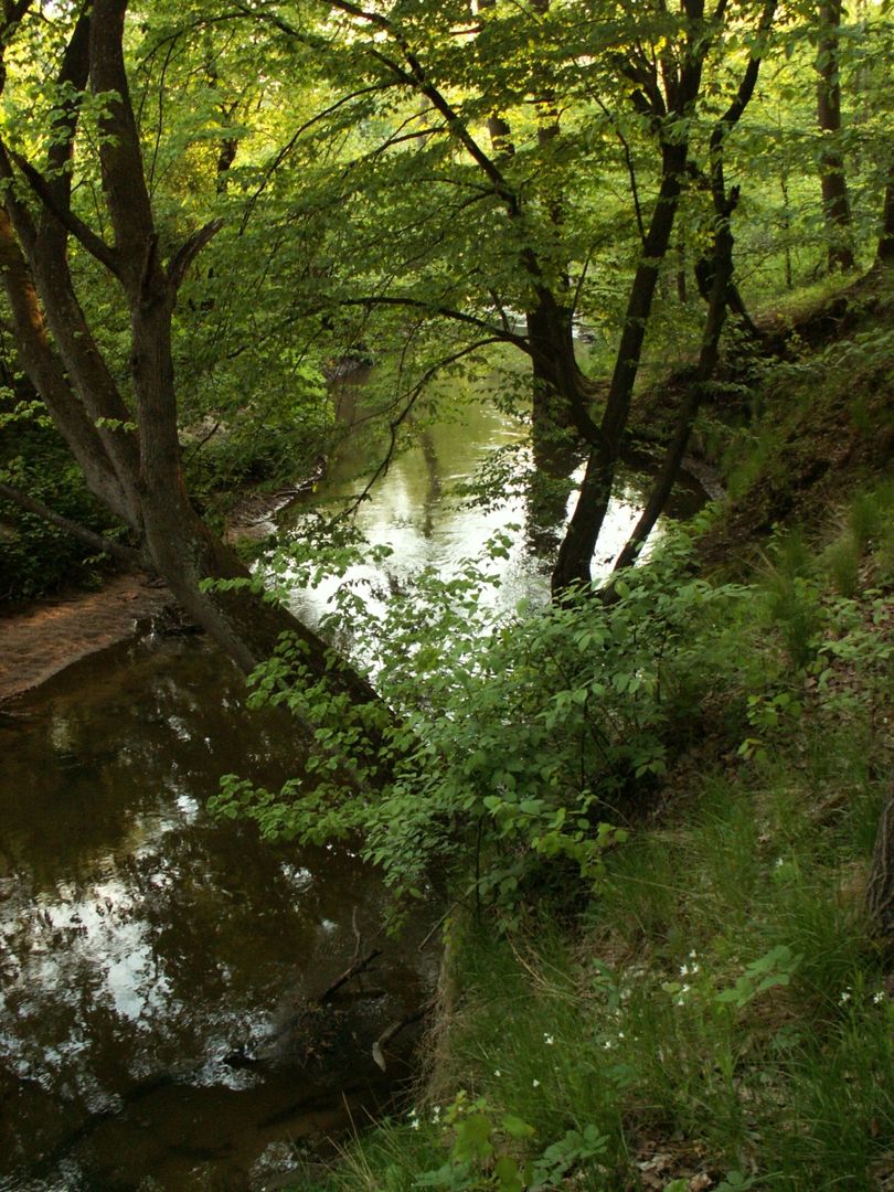
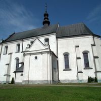
The Sanna is a 51.3 km long river, a right-bank tributary of the Vistula, with a drainage basin area of 606.8 km², flowing through the Lublin and Podkarpackie voivodeships. Its sources are located in Wierzchowiska Drugie at an altitude of approximately 225 meters above sea level. The upper course of the Sanna is considered picturesque and rich in diverse watercourses and fish ponds. In Zaklików, there is a recreational reservoir and a hydroelectric power plant dating back to 1929. The river flows through various landscapes, including valleys and post-glacial areas, ending its course in the Vistula near Opoka Duża. Settlement along the Sanna has a long history, dating back to the 8th century, with the oldest archaeological discoveries coming from Wolica Druga and Pasieka. The first town founded on the Sanna was Zaklików, established in 1565, followed by Modliborzyce (1642). Both towns lost their municipal rights in 1869 but regained them in 2014. During water quality assessments, the river was classified as Class III purity, but after the launch of the wastewater treatment plant in Zaklików, an improvement in quality was observed, including the return of crayfish. Since 1970, the sources of the Sanna have been monitored, characterized by high water quality, a stable temperature of 9°C, and low pollution. In an architectural context, there are interesting structures along the Sanna, including the hydroelectric power plant, which contributes to the local culture and economy. Thus, the Sanna is a river with rich historical and natural traditions, significant both for settlement and environmental protection.
Location
You can also find here:
2025 Wizytor | All Rights Reserved