Świdnicka Plain
6.7
Overview
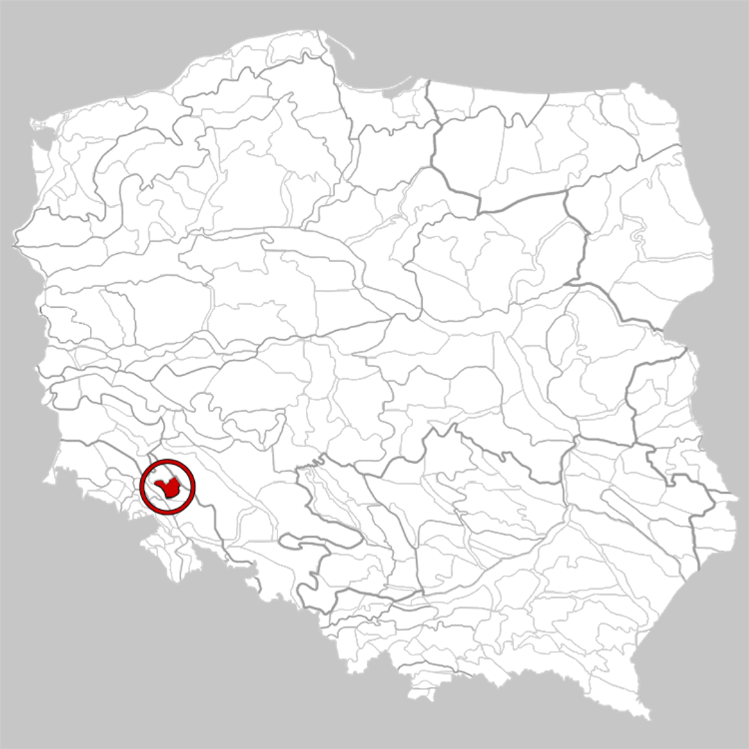
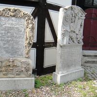
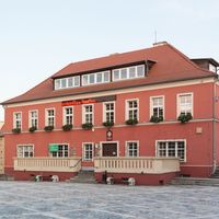
According to the physico-geographical division by Jerzy Kondracki and Wojciech Walczak, the Świdnica Plain is a mesoregion that forms part of the Sudeten Foreland, located north of the Sudetes. It borders the Silesian Lowland, the Ślęża Massif, the Sudeten Foothills Depression, and the Strzegom Hills. Geologically, it rests on the Sudetic Foreland block, with a basement of Strzegom granite and metamorphic rocks, covered by Tertiary and Quaternary sediments, which results in the formation of fertile soils. The plain has an elevation of 200–230 meters above sea level, with its highest point at Popiel Hill (284.4 meters above sea level). Apart from the Imbramowice Hills, the plain is traversed by the Bystrzyca River valley. The region is densely populated, with a well-developed road and rail network. The main city is Świdnica, the historic capital of the Lower Silesian Piast duchy. Other towns, such as Żarów and Jaworzyna Śląska, also play significant economic roles, particularly in porcelain production. The plain also has industrial importance, with the extraction of granite and clay raw materials. An interesting feature is Lake Mietków, created on the Bystrzyca River by the construction of a dam between 1974 and 1986, which is a popular recreational site. In addition to its agricultural aspects, the Świdnica Plain boasts a rich architectural and cultural heritage resulting from the region's centuries-long history.
Location


2026 Wizytor | All Rights Reserved