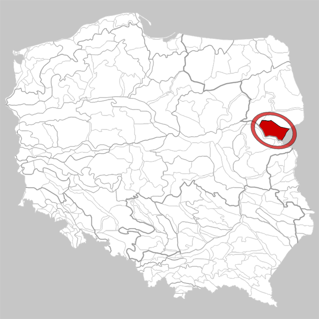
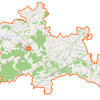
Drohiczyn Upland
6.56
Overview
The Drohiczyn Upland, located in eastern Poland, is a physiographic mesoregion characterized by a rolling plain reaching elevations of up to 210 meters above sea level. This region borders various mesoregions, including the Bielsk Plain, the Wysokie Mazowieckie Upland, and the Podlasie Bug Gorge, while to the east it adjoins Belarus. The upland is rich in diverse geomorphological features, such as eskers, kames, and moraine buttes, making it an interesting area for nature and geology enthusiasts. Within its territory, there are also exploited deposits of Cretaceous marls, highlighting the region's significance in terms of mineral resources. Forests cover approximately 24% of the area, creating a moderately wooded landscape that supports ecological biodiversity. In a cultural context, the Drohiczyn Upland is home to several key towns, the most important of which are Siemiatycze, Drohiczyn, and part of Ciechanowiec. Drohiczyn, after which the entire region is named, has a rich history tied to the development of local traditions and architecture, including historic churches and other historical buildings. As part of the North Podlasie Lowland, the region also plays a significant role in local cultural heritage, including crafts and folklore. An interesting fact is that the area lies between the Nurzec and Bug rivers, creating favorable conditions for many species of fauna and flora, and influencing local fishing and agricultural traditions. Thus, the Drohiczyn Upland is not only a region with a unique landscape and rich geomorphological structure but also a place with deep cultural and historical roots, making it an interesting destination to visit and explore.
Location
You can also find here:
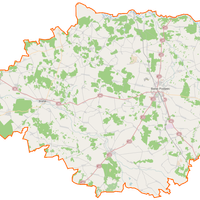
Wysokie Mazowieckie County
8.3

Ciechanowiec
8.23
Ciechanowiec Deanery

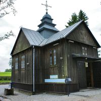
Church of the Icon of the Mother of God "Joy of All Who Sorrow" in Koterka
7.8
Siemiatycze Deanery
Bielsko County
7.27
Klukowo
7.24
Ciechanowiec Deanery
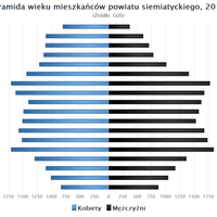
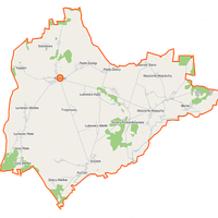
Siemiatycze County
7.24

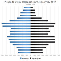
Siemiatycze
7.05
Siemiatycze Deanery

Grodzisk
7.03
Siemiatycze Deanery
Siemiatycze
6.98
Siemiatycze Deanery
Ostrów County
6.97
2026 Wizytor | All Rights Reserved