Giełczew Elevation
6.6
Overview
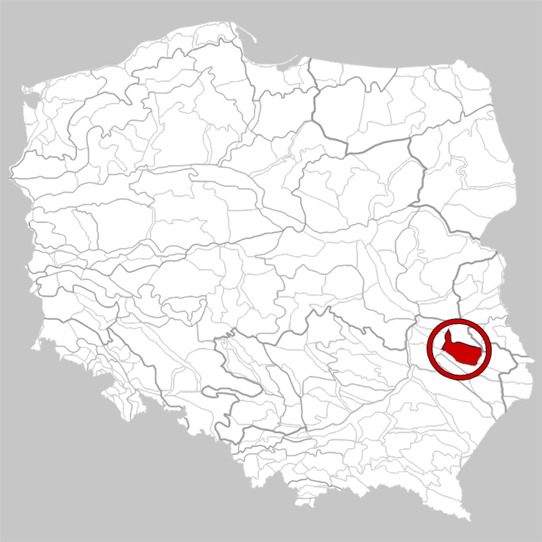
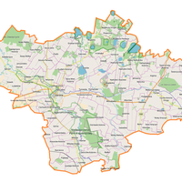
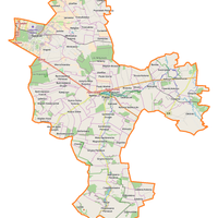
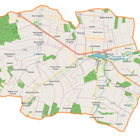
The Giełczew Upland, also known as the Giełczew Elevation, is a physiographic mesoregion located in the central part of the Lublin Upland in eastern Poland. It is characterized by diverse terrain, reaching a maximum height of 306 meters above sea level. The region is primarily composed of marls and opokas (siliceous limestone), with loess deposits found in its southwestern part. Notable features include valleys with an asymmetrical shape and a radial water network system. The soils of the region consist mainly of rendzinas and brown soils, making it an agricultural area. The Giełczew Upland borders various other mesoregions, contributing to its rich natural and cultural heritage. Within its territory lies the Krzczonowski Landscape Park, established in 1990, which serves as a valuable nature conservation area.
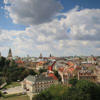
The region is home to two towns: Bychawa and Piaski, as well as numerous smaller settlements such as Fajsławice, Wysokie, Żółkiewka, and Krzczonów. Giełczew, after which the region is named, may hold many fascinating stories related to local crafts and traditions. The area's culture is deeply rooted in agriculture, and the region is alternatively explored through tourist trails and various cultural events held cyclically. In addition to its natural attractions, the Giełczew Upland is also an important point on Poland's historical map, with intriguing stories and monuments that attract both tourists and local residents. With its picturesque landscapes and rich heritage, this region is an excellent place to discover Polish culture and history.
Location


2026 Wizytor | All Rights Reserved