Gorce National Park
7.78
Overview
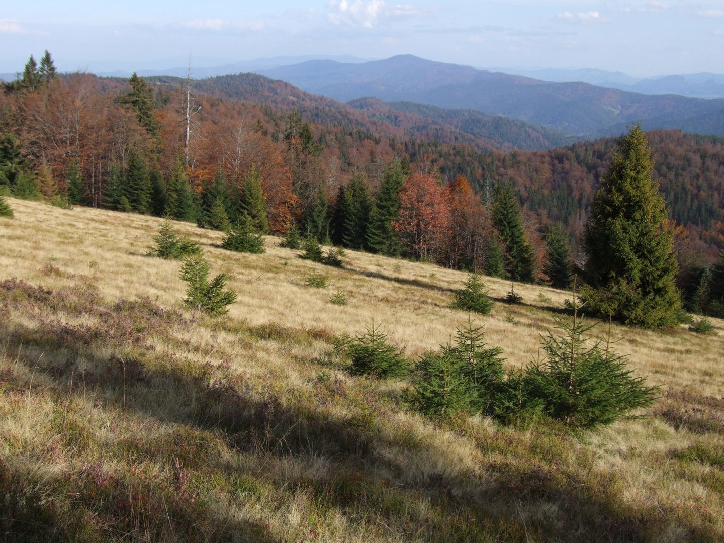
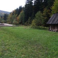
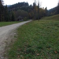
Gorczański National Park, established in 1981 in the municipalities of Mszana Dolna, Niedźwiedź, Kamienica, Nowy Targ, and Ochotnica Dolna, covers an area of 7,029.85 hectares, most of which is state-owned. The park encompasses the central range of the Gorce Mountains, including the highest peaks such as Turbacz and Jaworzyna Kamienicka. Its history dates back to the years before World War II, when the need to protect the unique landscape and natural values of this area was recognized, leading to the establishment of a nature reserve in 1927. In 1997, a buffer zone of 16,647 hectares was designated. Architecturally, the oldest sacred monument is the Bulanda Chapel. The park is known for its rich fauna, which includes 185 species of vertebrates, many of which are endangered, such as the brown bear and the Eurasian lynx. Large forest complexes foster biodiversity, and endemic fish species can be found in the streams. The flora of the Gorce Mountains comprises over 900 species of vascular plants and many Carpathian endemics. The Gorce clearings, created by the Vlachs in the 14th century, are part of the landscape and a valuable tourist attraction, and their preservation is crucial for maintaining biodiversity. Thanks to the cultural practice of sheep grazing on some of the clearings, the park takes measures to protect these areas from overgrowth, which is essential for preserving their scenic value. Gorczański National Park is not only a place of nature conservation but also a space with a rich cultural heritage, making it a unique destination on the map of Poland.
Location


2026 Wizytor | All Rights Reserved