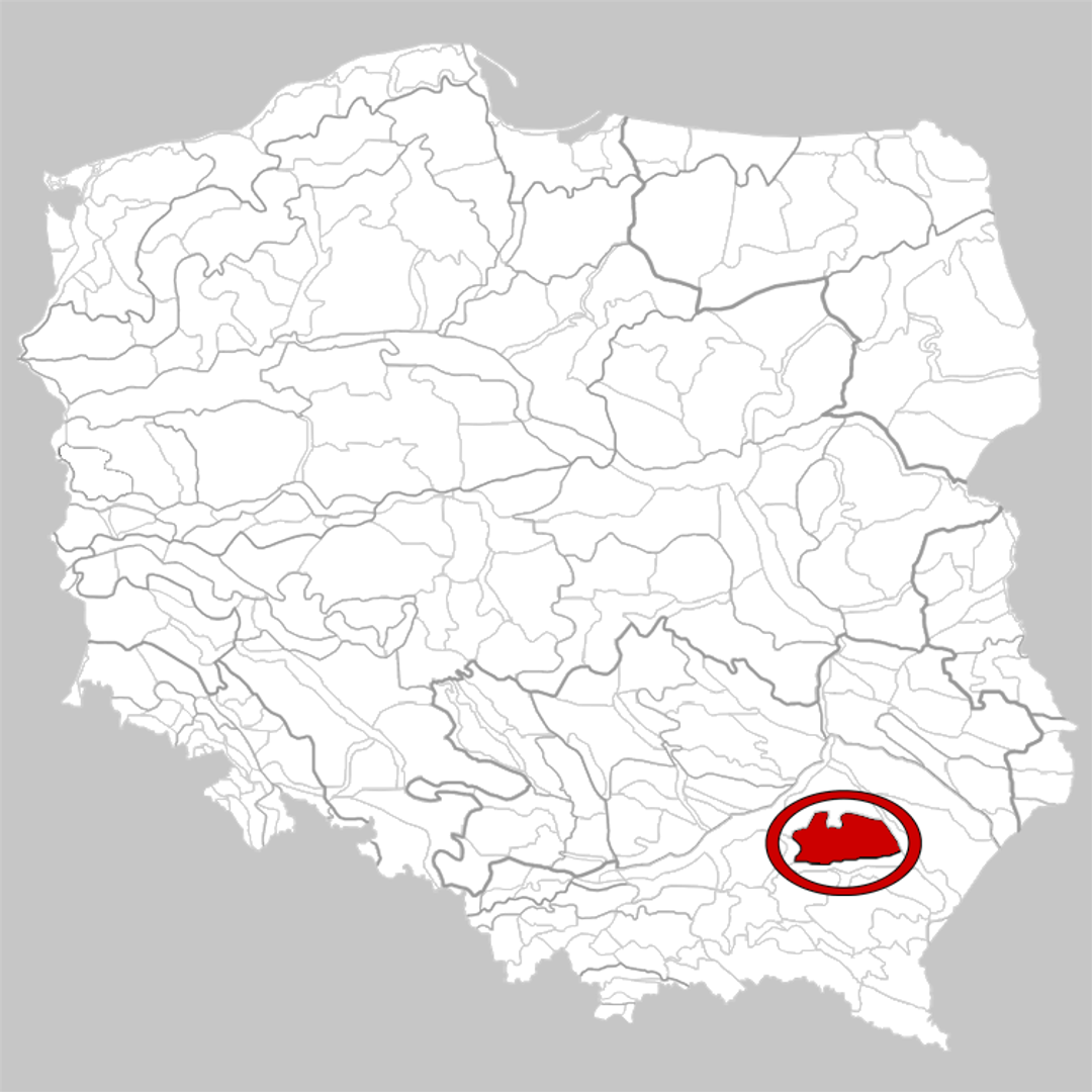
Kolbuszowa Plateau
6.47
Overview
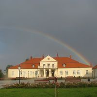
The Kolbuszowa Plateau, located in southeastern Poland, is a physiographic mesoregion covering an area of 1,668 km², forming part of the Sandomierz Basin. Its shape resembles a triangle, and the area is situated between the valleys of the Wisłoka and San rivers. Geologically, the plateau is primarily composed of fluvial sands, which favor the formation of large dune complexes, with parabolic dunes reaching heights of up to 25 meters dominating the landscape. The highest point of the plateau is 269 meters above sea level.
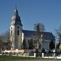
In cultural terms, the surroundings of the Kolbuszowa Plateau are rich in folk traditions and folklore, reflected in preserved historical monuments and local handicrafts. Historically, the region played a significant role, with settlements dating back to ancient times, and its history is intertwined with various events that shaped the local community. An interesting fact is that the diverse terrain hosts numerous plant and animal species, making it an attractive destination for nature enthusiasts.
Thus, the Kolbuszowa Plateau is an area of great natural and cultural importance, combining a rich history with ecological diversity.
Location


2026 Wizytor | All Rights Reserved