Mount Kalwaria
6.02
Overview
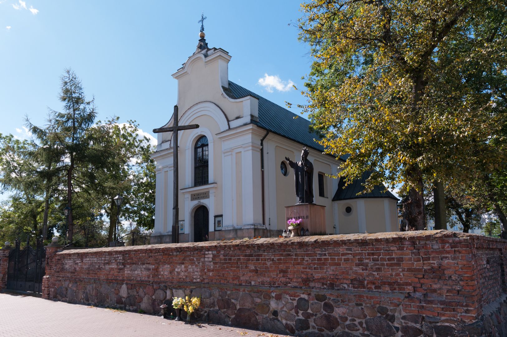
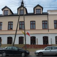
Góra Kalwaria is a town in the Masovian Voivodeship, situated on the Vistula River, 34 kilometers from Warsaw. It was granted town rights in 1670, lost them in 1883, and regained them in 1919. The history of the town dates back to the 13th century, when it still existed as a knight's village. Góra Kalwaria gained significance after 1666 when it became the property of Bishop Stefan Wierzbowski. Following the destruction caused by the Swedish Deluge, urban plans related to the Calvary roads were developed, which influenced the town's architecture, distinguished by its layout based on the shape of a Latin cross. The town features several historical monuments, including the Church of the Immaculate Conception of the Blessed Virgin Mary, a Calvary chapel, and 19th-century Classicist buildings. In the 18th century, Góra Kalwaria became an important center of Hasidism, contributing to the dynamic development of the Jewish community, especially after the regulations regarding Jewish settlement post-1816. During World War II, the Germans established a ghetto in the town, which was liquidated in 1941. An interesting fact is the revival of the mystery tradition in 2010, related to the town's history, known as the Mystery of the Passion of the Lord. Góra Kalwaria is also home to several theater groups and cultural associations. In terms of education, there are primary schools and a high school. The town also has rich transport connections: two national roads intersect here, and the railway line 12, which runs through the town, connects Łowicz with Łuków, ensuring good communication links. Góra Kalwaria also has a river port and an airfield in nearby Sobienie Szlacheckie. The town boasts rich religious infrastructure, with churches of various denominations and care centers. Góra Kalwaria has also gained military significance, serving as a stationing place for various military formations throughout the centuries. The current mayor is Arkadiusz Strzyżewski, elected in 2018.
Location


2026 Wizytor | All Rights Reserved