Sandomierz Upland
6.54
Overview
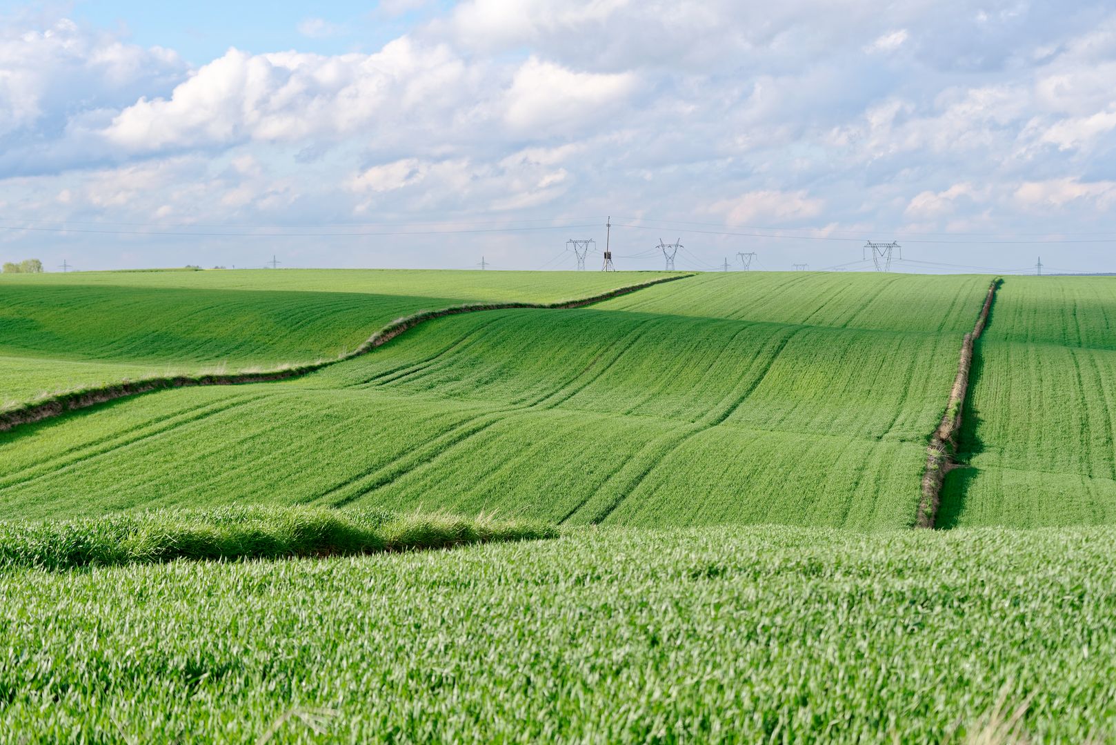
The Sandomierz Upland, also known as the Opatów Upland, is located in the eastern part of the Kielce Upland and stretches between the Świętokrzyskie Mountains, the Iłża Foothills, and the Vistula River valley. Its foundation consists of rocks that are part of the Świętokrzyskie Mountains, while the eastern part of the area is covered by marine sediments from the Miocene epoch. The upland covers an area of approximately 1,140 km² and features a leveled terrain, with elevations ranging from 180 meters above sea level near Sandomierz to 300 meters above sea level at the foothills of the Świętokrzyskie Mountains. Rivers such as the Koprzywianka, Opatówka, Kamionka, and Świślina traverse its landscape. The area also holds ecological significance, with two nature reserves protecting mixed forests and one preserving xerothermic vegetation. The eastern edge of the upland is formed by the picturesque Pieprzowe Mountains, a well-known tourist attraction. This region is rich in history and traditions, with settlements dating back to prehistoric times. In Sandomierz, one of the main cities of the region, there are numerous architectural monuments, including Renaissance townhouses and a cathedral. The city is also known for legends associated with kings and knights, attracting tourists seeking cultural experiences. Interestingly, the Sandomierz Upland is a place where folk and regional traditions manifest in various forms of art, craftsmanship, and local cuisine, making it an intriguing destination for exploring Polish culture.
Location


2026 Wizytor | All Rights Reserved