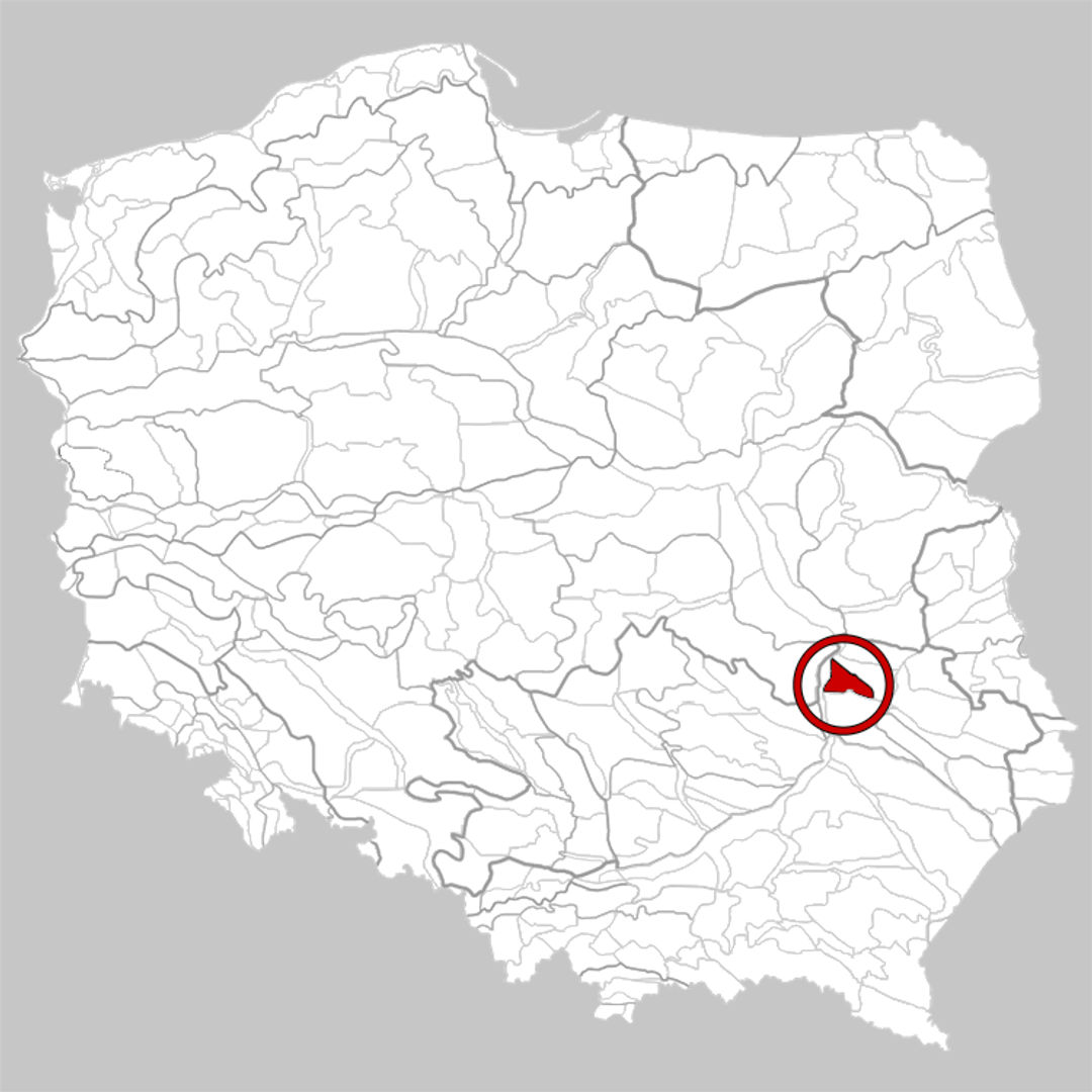
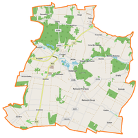
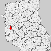
Chodel Basin
6.82
Overview
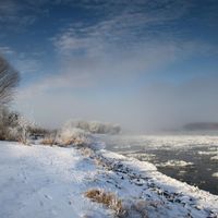
The Chodelska Valley is a physiographic mesoregion located in eastern Poland, within the western part of the Lublin Upland. Shaped like a triangle, it borders the Bełżyce Plain to the northeast, the Urzędów Heights to the south, and the Lesser Poland Vistula Gorge to the west. This region is a depression carved into soft Cretaceous marls, characterized by gently sloping sides and elevations ranging from 130 to 180 meters above sea level. The valley floor is filled with Quaternary sands, and in its southern part lies a peat-filled dead valley, separated from the Chodelka River by a natural levee. The Chodelka River is the largest watercourse in the area.
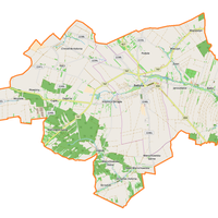
Economically, the western part of the valley is covered with forests and rich in ponds, while the region is renowned for its agriculture and developed processing industry, particularly in fruit and vegetable preservation and dairy production, with a historical presence of sugar refineries. It is worth noting that the main urban centers in this area are Opole Lubelskie and Poniatowa, as well as the village of Chodel, which plays a significant role in the life of the local community.
With its unique location and natural characteristics, the Chodelska Valley is not only an agricultural region but also an area with a fascinating cultural and historical heritage, reflected in local traditions and architecture.
Location


2025 Wizytor | All Rights Reserved