Horodło Ridge
6.52
Overview
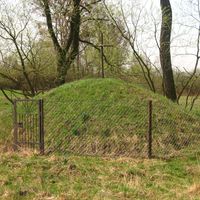
The Horodło Ridge is a physiographic mesoregion located in southeastern Poland, within the area of the Volhynian Upland. It is characterized by flat elevations that separate the Hrubieszów Basin from the Dubno Depression. The ridge reaches heights ranging from 220 to 230 meters above sea level and is primarily composed of Cretaceous marls and loess with a thickness of up to 30 meters. The area is dissected by numerous dry valleys, and the presence of chernozem soils gives it an agricultural character, favoring the development of farms. The main town of the region is Horodło, while the eastern part of the mesoregion lies in Ukraine, with the Bug River forming a natural border between the Polish and Ukrainian sections of the ridge. The region holds architectural significance, with traditional buildings reflecting local styles and history, as well as cultural elements that may include both rural traditions and intercultural connections with the East. An interesting aspect is the diversity of flora and fauna, as well as a settlement history dating back to the Middle Ages. Thus, the Horodło Ridge is a place of not only natural but also cultural and historical importance, making it an interesting area for research and exploration.
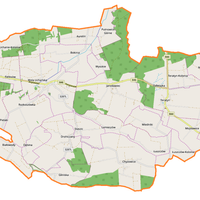
Location
You can also find here:

2026 Wizytor | All Rights Reserved