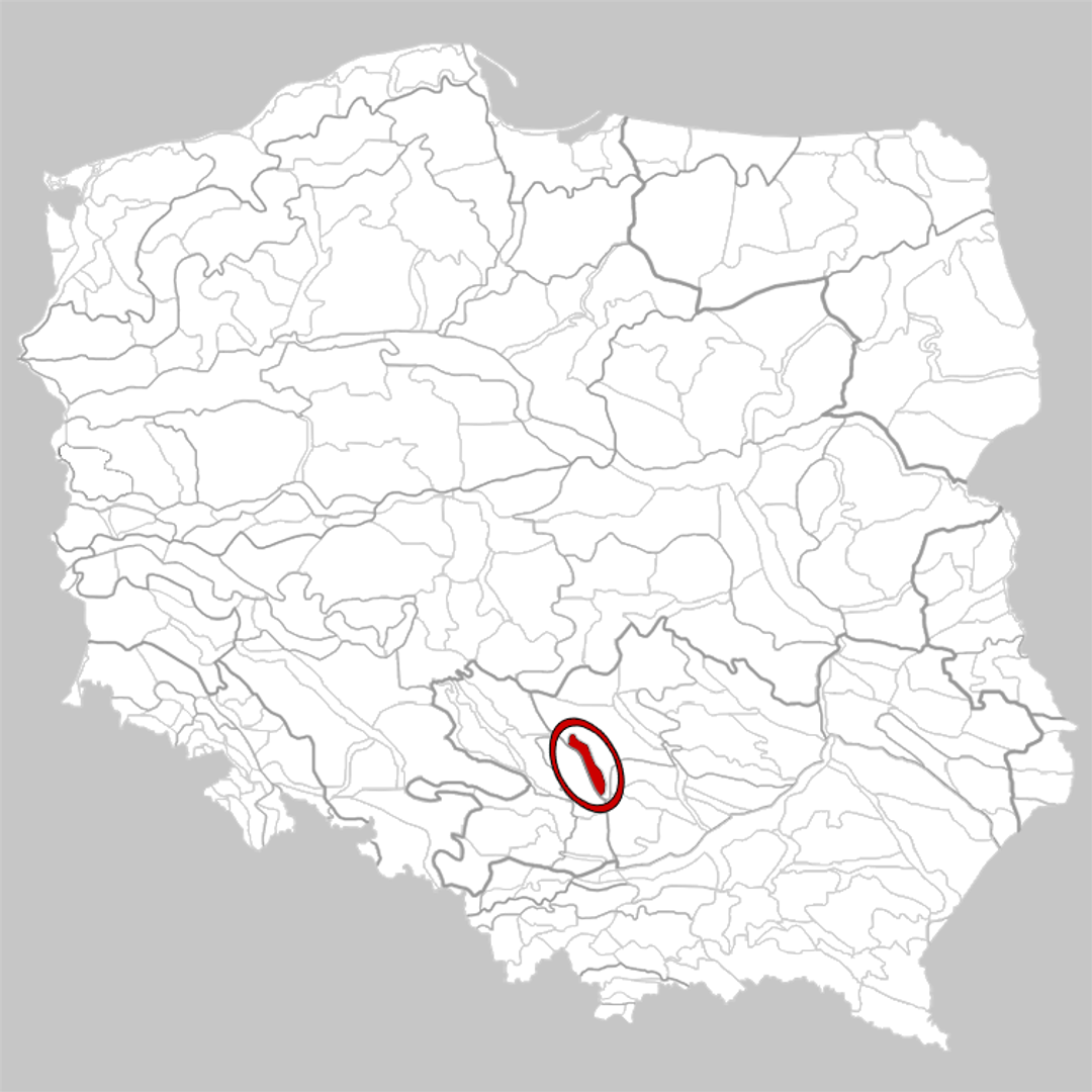
Lelów Threshold
6.56
Overview
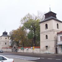
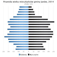
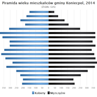
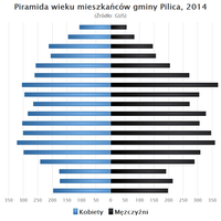
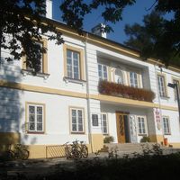
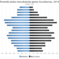
The Lelów Threshold is a physiographic mesoregion located in south-central Poland, primarily within the Silesian Voivodeship, with a smaller part extending into the Świętokrzyskie Voivodeship. It forms the southwestern part of the Przedbórz Upland, bordering the Częstochowa Upland to the west and the Włoszczowa Basin to the east. The region is distinguished by a monoclinal range of hills stretching up to 40 km in length, with elevations ranging from 280 to 340 meters above sea level and featuring varied topography, with relative heights of 10 to 35 meters. Geologically, the Lelów Threshold is composed mainly of Cretaceous sandstones and marls, overlain by Quaternary deposits, including loess in the central part. The main urban centers in the region are Lelów and Irządze, and its area also encompasses numerous municipalities, such as Janów, Niegowa, Przyrów, Koniecpol, Dąbrowa Zielona, Szczekociny, Kroczyce, Pilica, Żarnowiec, and Słupia. In a historical context, the region boasts a rich cultural heritage, reflected in its architecture, including historic churches, manor houses, and traditional buildings that showcase local styles and history. It is also worth noting the regional traditions, festivals, and cultural activities that contribute to the vitality of local communities. Interestingly, the area around the Lelów Threshold features several cycling routes and hiking trails, making it an attractive destination for active tourism. This diverse landscape and natural richness draw nature enthusiasts and history seekers alike, making the Lelów Threshold not only an interesting location on the map of Poland but also an area with significant tourism potential.
Location
You can also find here:

2026 Wizytor | All Rights Reserved