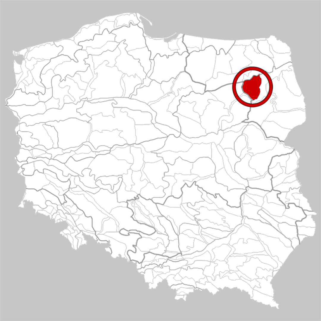
Kolno Plateau
7.16
Overview
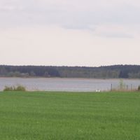
The Kolneńska Upland is a physiographic mesoregion located in the western part of the North Podlasie Lowland. This area is characterized by distinct elevations that rise above river valleys, and its formation dates back to the Baltic glaciation period. The terrain is diverse, with hills reaching up to 214 meters above sea level and a notable absence of large lakes, which is unusual for the region. The upland also serves as the source of several rivers, including the Pisa, Biebrza, and Narew.
The vegetation is predominantly composed of cultivated fields and fragmented, young forests. Natural mixed forests are in the process of regeneration, with dominant species including pine and deciduous trees such as oak, hornbeam, and linden. The region is also home to rare plant species, including thermophilic grasslands.
Geologically, the Kolneńska Upland is part of the East European Platform. Its foundation consists of Proterozoic granitoids and gneisses, overlain by Mesozoic and Cenozoic deposits. This area may be of interest to nature, geology, and biology enthusiasts, offering unique ecosystems and opportunities to study the region’s geological history and floral diversity. Major towns include Grajewo, Kolno, and Szczuczyn, which provide cultural attractions and contribute to the local identity. Additionally, the area features long natural embankments and distinctive terrain edges that attract researchers and tourists alike.
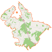
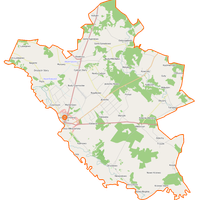
Location

2026 Wizytor | All Rights Reserved