Przemyśl Foothills
7.37
Overview
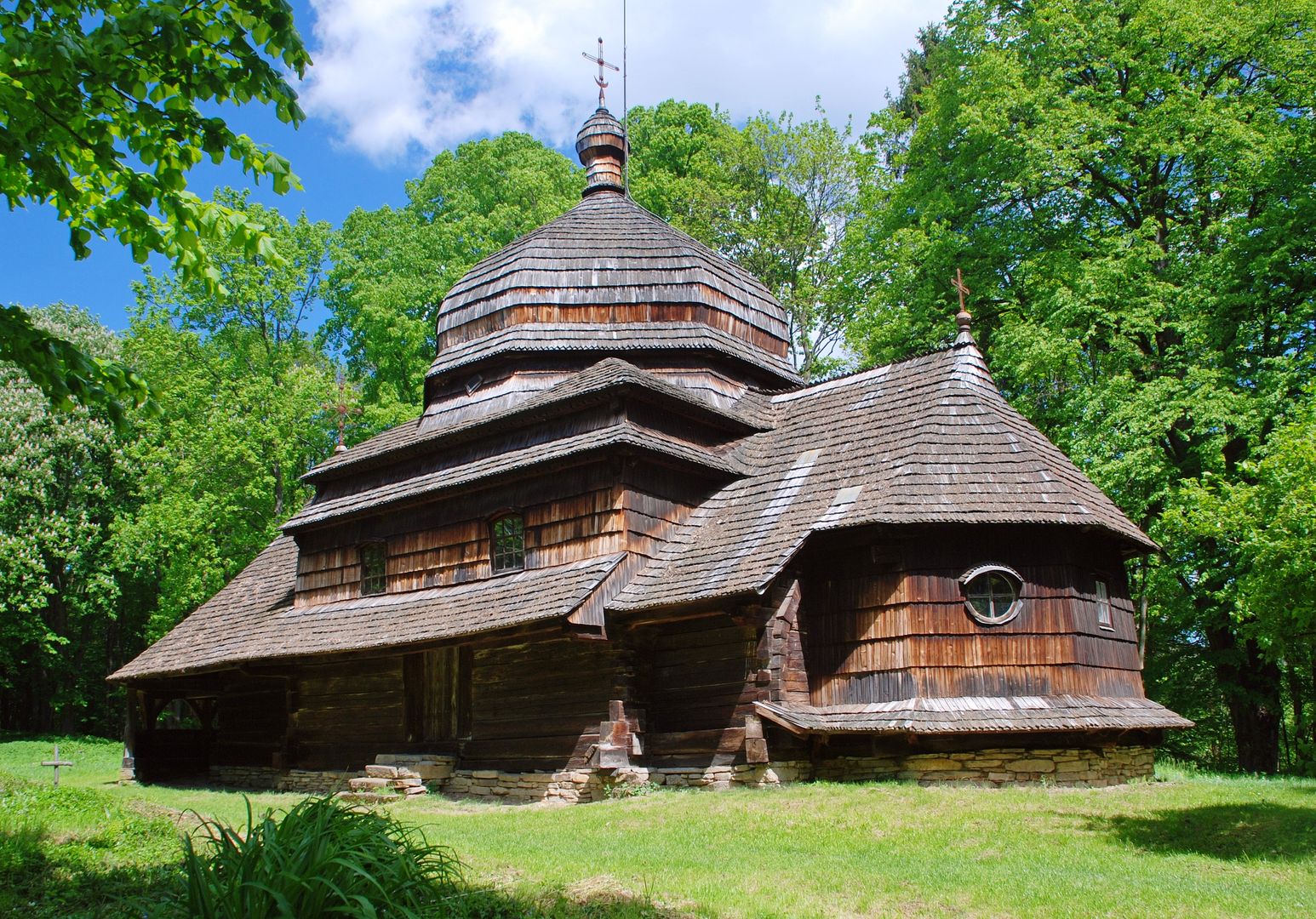
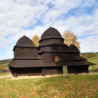
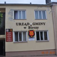
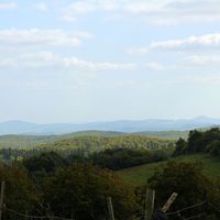
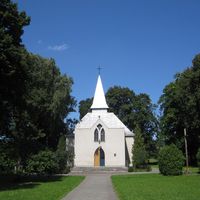
The Przemyśl Foothills is a mesoregion located in southeastern Poland, forming part of the Outer Western Carpathians. The boundaries of the region are defined by the San River and various mountain valleys and peaks, which means that definitions of its borders may vary. The highest peaks in the region include Suchy Obycz, Kopystańka, and the hill known as Na Wysokim. The area is characterized by diverse terrain, featuring mountain ranges such as the Kruszelnica Range and the Wysoki Range, as well as numerous river valleys, including those of the Wiar and Stupnica rivers. Mixed forests dominate the landscape, with both deciduous and coniferous tree species present. The Przemyśl Foothills are protected within a Landscape Park, and there are plans to establish the Turnicki National Park. Before World War II, the region was densely populated, but the war and subsequent resettlement actions, such as Operation "Vistula," led to a drastic decline in the population. Architecturally, the historic churches in Ulucz and Piątkowa stand out. From a tourism perspective, the region offers numerous hiking trails, including the Blue Tourist Trail and the Red Przemyśl-Sanok Trail, which allow visitors to explore the beauty of the landscape. The foothills are also home to places rich in history, such as the "Arłamów" Resort, which once served as a facility for the Council of Ministers. Thus, the region is not only valuable for its natural environment but also for its historical and cultural significance, making it an interesting destination for tourists and history enthusiasts alike.
Location


2026 Wizytor | All Rights Reserved