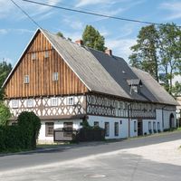
Rudawy Landscape Park
6.69
Overview
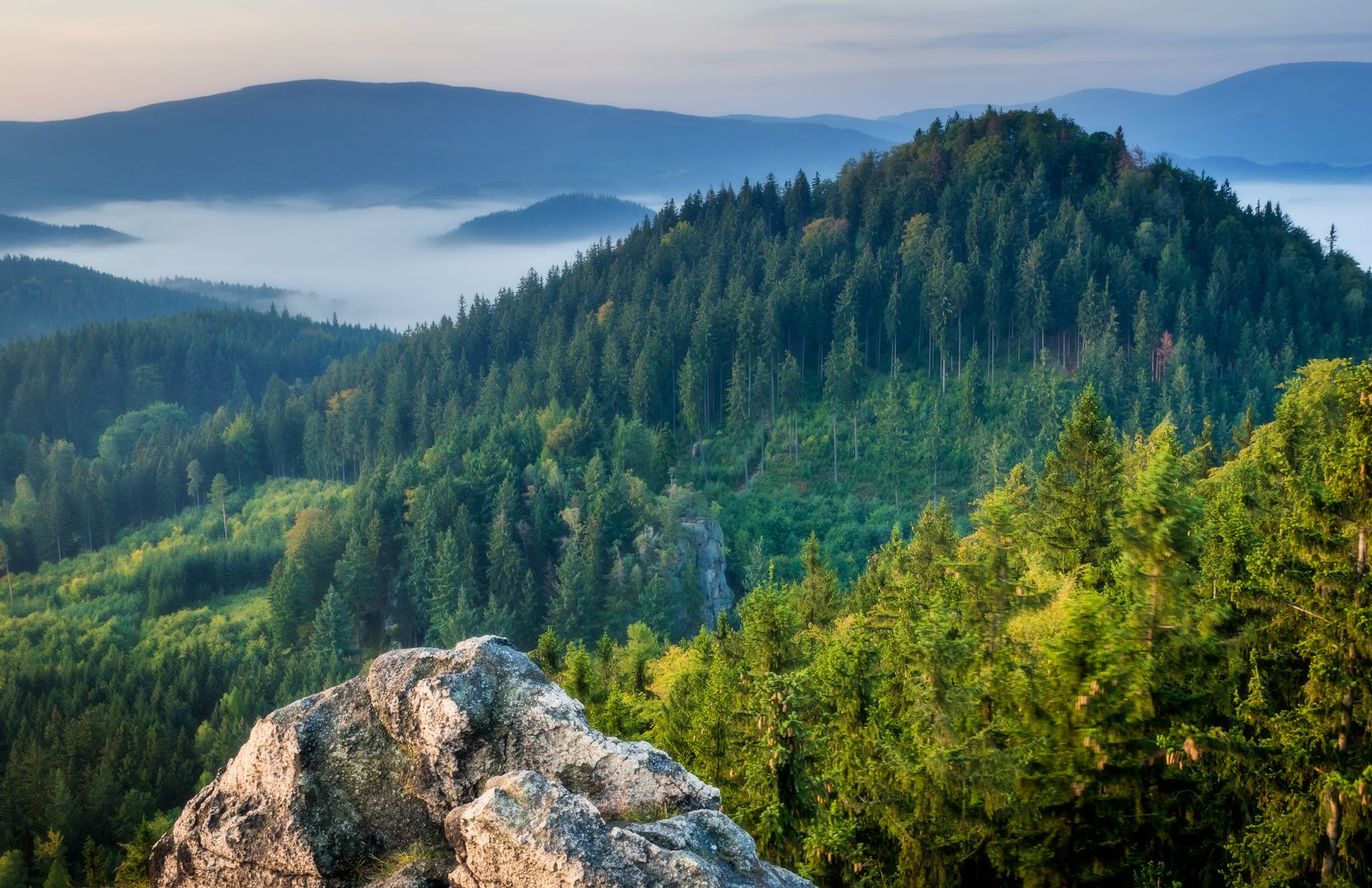
The Rudawski Landscape Park, located in the southern part of the Lower Silesian Voivodeship, encompasses the municipalities of Bolków, Janowice Wielkie, Kamienna Góra, Marciszów, and Mysłakowice, as well as the cities of Jelenia Góra, Kamienna Góra, and Kowary. The park protects the picturesque Rudawy Janowickie, Sokolim Mountains, Karpnickie Hills, Ołowiane Mountains, and Lisie Mountains. Covering a total area of 15,705 hectares, of which 8,884 hectares are forested, it serves as an important area for nature conservation, including 390 species of vascular plants—54 of which are legally protected—and 203 species of vertebrates. The Bóbr River flows through the park, and within its boundaries, there are numerous rock formations made of granite, gneiss, amphibolite, and conglomerate. The park is also rich in meadows with outstanding botanical value and features 152 kilometers of hiking trails, making it ideal for walking tourism. Although there are no nature reserves within the park, four special habitat protection areas have been established under the Natura 2000 program, further highlighting its ecological significance. In the northern part of the Rudawski Landscape Park, within the Ołowiane Mountains, lies the documentation site "Sztolnia Wapienna w Ciechanowicach." This 90-meter-long structure protects a former excavation in a calcite vein, serving as a refuge for hibernating bats and rare species of fungi. Rudawski Landscape Park is not only an area of exceptional natural value but also a place that encourages active recreation and the exploration of the natural beauty of Lower Silesia.
Location
You can also find here:
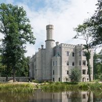
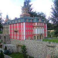
Karpniki Castle
7.86
Karpacz Deanery
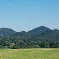
Rudawy Janowickie
7.78
Kamienna Góra East Deanery
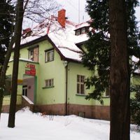
Kamienna Góra
7.06
Deanery Kamienna Góra West
Beechwood
7.04
Karpacz Deanery

Bolczów Castle
7.04
Janowice Wielkie
Kowary
6.96
Karpacz Deanery
Janowice Wielkie
6.91
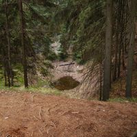
Colorful Lakes
6.85
Kamienna Góra East Deanery
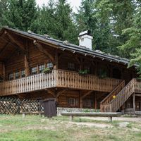
PTTK "Szwajcarka" Shelter
6.78
Karpacz Deanery

Bolków
6.59
Karpacz Deanery
2026 Wizytor | All Rights Reserved