Słupca County
7.76
Overview
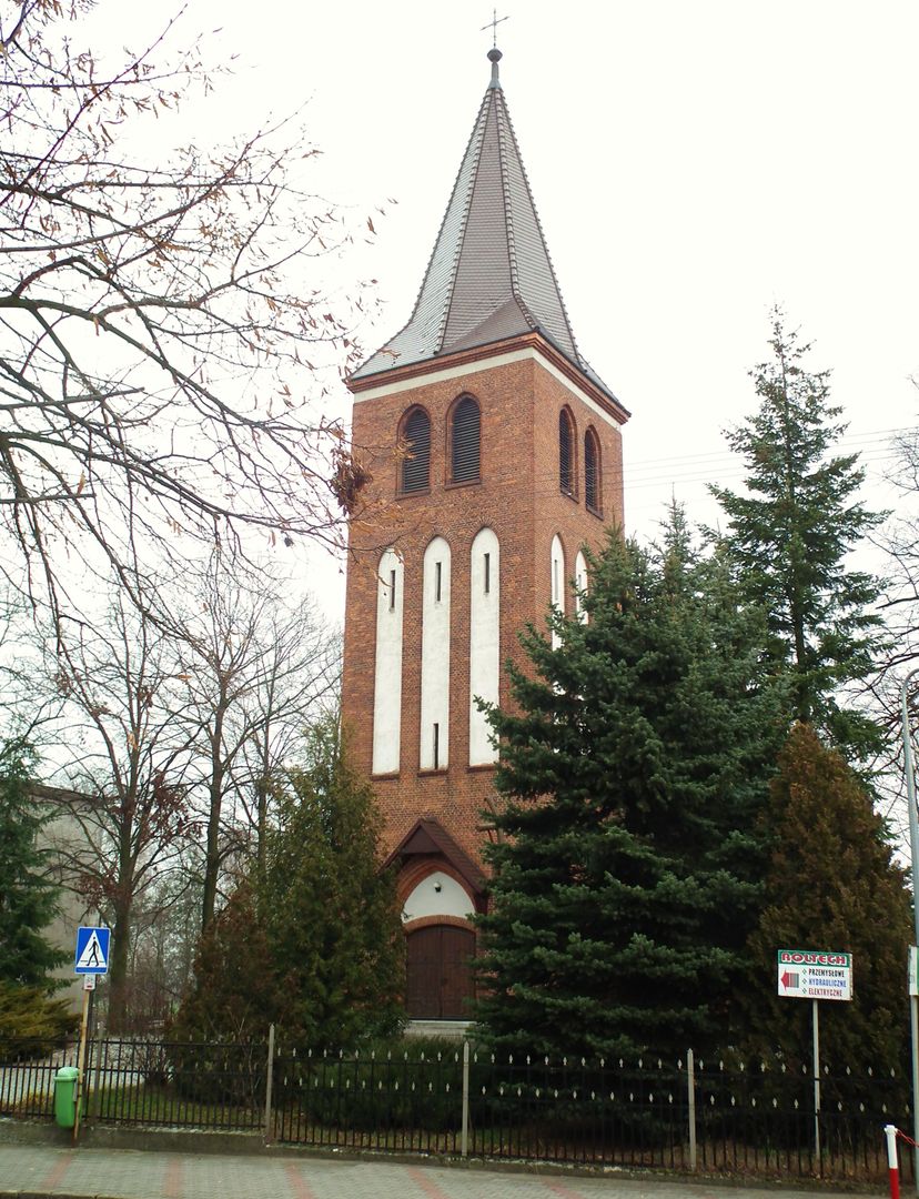
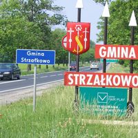
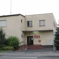
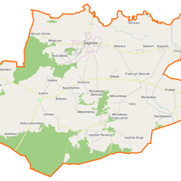
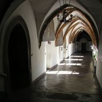
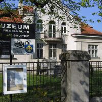
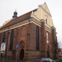
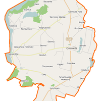
Słupca County, located in the eastern part of the Greater Poland Voivodeship with its seat in Słupca, has a rich history dating back to 1867. Over the years, it has existed in various administrative forms: from the Kalisz Governorate in the Kingdom of Poland, through the period of the Second Polish Republic, until its restoration in 1999. The county covers an area of 837.9 km² and includes urban, urban-rural, and rural municipalities, including Słupca and Zagórów. It is home to important transport routes such as the A2 motorway and railway lines, facilitating travel. The county also stands out for its rich natural environment, featuring the largest lake in the region—Lake Powidzkie. Architecturally significant landmarks include the Church of St. Leonard and St. Lawrence in Słupca, palaces in Ciążeń and Ląd, as well as numerous other religious buildings in various municipalities. Culturally, the county is active, with cultural centers and libraries, as well as diverse local events. Historically, it is worth noting the Lusatian culture settlement in Słupca and unique structures such as the synagogue. An interesting fact is that Słupca County has a low urbanization rate of just 28.7%, meaning rural development predominates. Modern social life includes activities by volunteer fire departments and the police headquarters, reflecting residents' engagement in safety and local community matters.
Location
Country


2026 Wizytor | All Rights Reserved