Sokal Ridge
6.54
Overview
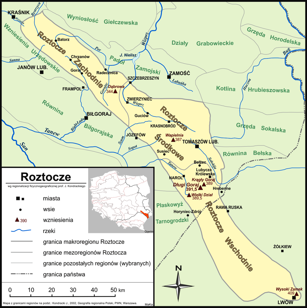
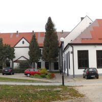
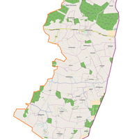
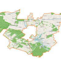
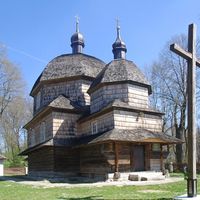
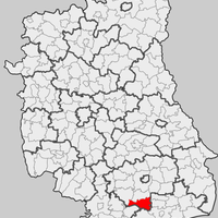
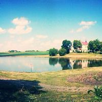
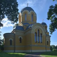
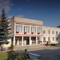
The Sokal Ridge, a physiogeographic mesoregion in southeastern Poland and Ukraine, forms a series of hill-like elevations and constitutes the western part of the Volhynian Upland. This region, intersected by the upper Bug and Huczwa rivers, reaches heights ranging from 240 to 260 meters above sea level and is composed of Upper Cretaceous formations and loess layers. Fertile soils, particularly chernozems, favor agricultural development, which is characteristic of the area, although small forested fragments also occur. The main town of the Sokal Ridge is Sokal in Ukraine, while on the Polish side, the region includes Tyszowce, Łaszczów, Rachanie, Dołhobyczów, and Chłopiatyn. Architecturally, the region is distinguished by traditional rural buildings and some historical structures that reflect regional construction styles. The culture of the Sokal Ridge is deeply rooted in local agricultural traditions, as well as a rich history encompassing both Polish and Ukrainian influences. The region boasts many interesting features, such as unique geological and ethnological phenomena, along with local customs that have survived to this day. The Sokal Ridge is an area that combines natural, cultural, and historical richness, forming a significant part of the geospace of Central and Eastern Europe.
Location

2025 Wizytor | All Rights Reserved