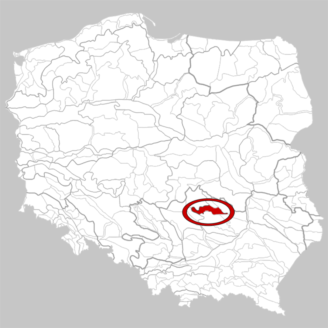
Suchedniów Plateau
6.55
Overview
The Suchedniów Plateau, located north of the Świętokrzyskie Mountains and forming part of the Kielce Upland, is a fascinating geographical area. Its name derives from the town of Suchedniów, situated in its central part. The geological structure of the plateau is primarily composed of Lower Triassic sandstones, and the terrain is characterized by dome-shaped hills reaching altitudes of 300–400 meters above sea level, as well as denudation basins such as those in Mniów, Szałas, and Suchedniów. The highest point of the region, near Zagnańsk, stands at 445 meters above sea level.
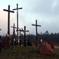
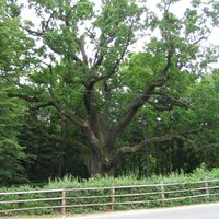
A distinctive feature of the plateau is its lush vegetation, including the vast forests of the Świętokrzyska Primeval Forest, as well as its hydrographic network, dominated by rivers such as the Kamienna, Radomka, Drzewiczka, and Czarna Konecka, along with their tributaries. This area also holds significant historical importance, particularly during World War II, when it served as one of the centers of partisan activity. The unit led by Major Jan Piwnik, codenamed "Ponury" ("Gloomy"), operated here, using the Wykus forest clearing as their operational base. This not only adds a military-historical dimension to the region but also a cultural one, tied to the memory of the struggle during the occupation.
The Suchedniów Plateau represents an intriguing combination of natural, geological, and historical values, making it an appealing destination for tourists, history enthusiasts, and nature lovers alike.
Location


2026 Wizytor | All Rights Reserved