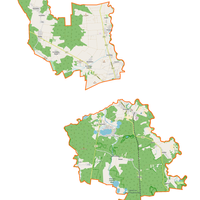
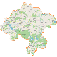
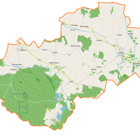
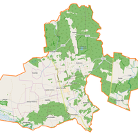
Włodawa County
6.68
Overview
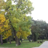
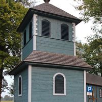
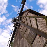
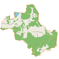
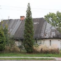
The Włodawa Ridge is a physiographic mesoregion in eastern Poland, part of the Podlasie Polesie. It is situated between the Sosnowicka Depression and the Łęczna-Włodawa Plain, bordering the Middle Bug Valley to the east, which also marks the state border with Belarus. The region features a flat, asymmetrical post-glacial upland that drops steeply to the south, reaching its highest point at 212 meters above sea level. The bedrock consists of denuded glacial till and Cretaceous marls, with the surface intersected by deep erosional channels. The area is drained by small watercourses, primarily the Włodawka and Hanka rivers, with groundwater found in Pleistocene glacial deposits and Holocene sediments. The soils in the Włodawa Ridge are mainly podzolic, rusty, and brown, which support diverse ecosystems. Over 50% of the region is covered by forests, dominated by mixed pine-oak coniferous forests, as well as oak-hornbeam forests and suboceanic pine forests. Despite the predominance of forested areas, the Włodawa Ridge is primarily an agricultural region. The most important town is Włodawa, which gave the region its name. Włodawa has a rich history reflecting diverse cultural influences, visible in its architecture and local traditions. Interestingly, the region plays a significant role in biodiversity conservation, serving as a habitat for rare plant and animal species. The Włodawa Ridge combines natural values with cultural aspects, making it an interesting point on the map of Poland.
Location

2026 Wizytor | All Rights Reserved