Chyrowa Plateau
6.6
Overview
The Chyrowski Plateau is a physiographic mesoregion located in the western part of Eastern Subcarpathia, within the San-Dniester Plateau. It lies on the watershed between the basins of the Vistula and Dniester rivers, with its northern border marked by a steep escarpment featuring elevations of up to 80 meters. The majority of this region is situated in Ukraine, while a small fragment, covering an area of 100 km², lies in Poland. The highest point in this area is Optyń, reaching 322 meters above sea level. The plateau is largely devoid of forests and is primarily used for agricultural cultivation, which significantly shapes its landscape and local economy. The most important urban centers in the region are Khyriv and Dobromyl in Ukraine, while on the Polish side, there are several villages such as Hermanowice, Rożubowice, Malhowice, Jaksmanice, and the former town of Stanisławczyk. An interesting fact is the existence of a disused railway line on the Przemyśl–Zagórz route, which once transited through Ukraine, reflecting the historical transport connections of the region. The plateau is adjacent to other geographical regions, such as the Przemyśl Foothills and the Sanok-Turka Mountains, adding to its significance in terms of landscape and cultural context. Thanks to its location, the Chyrowski Plateau is a unique area that blends Polish and Ukrainian cultural and historical traditions.
Location
You can also find here:
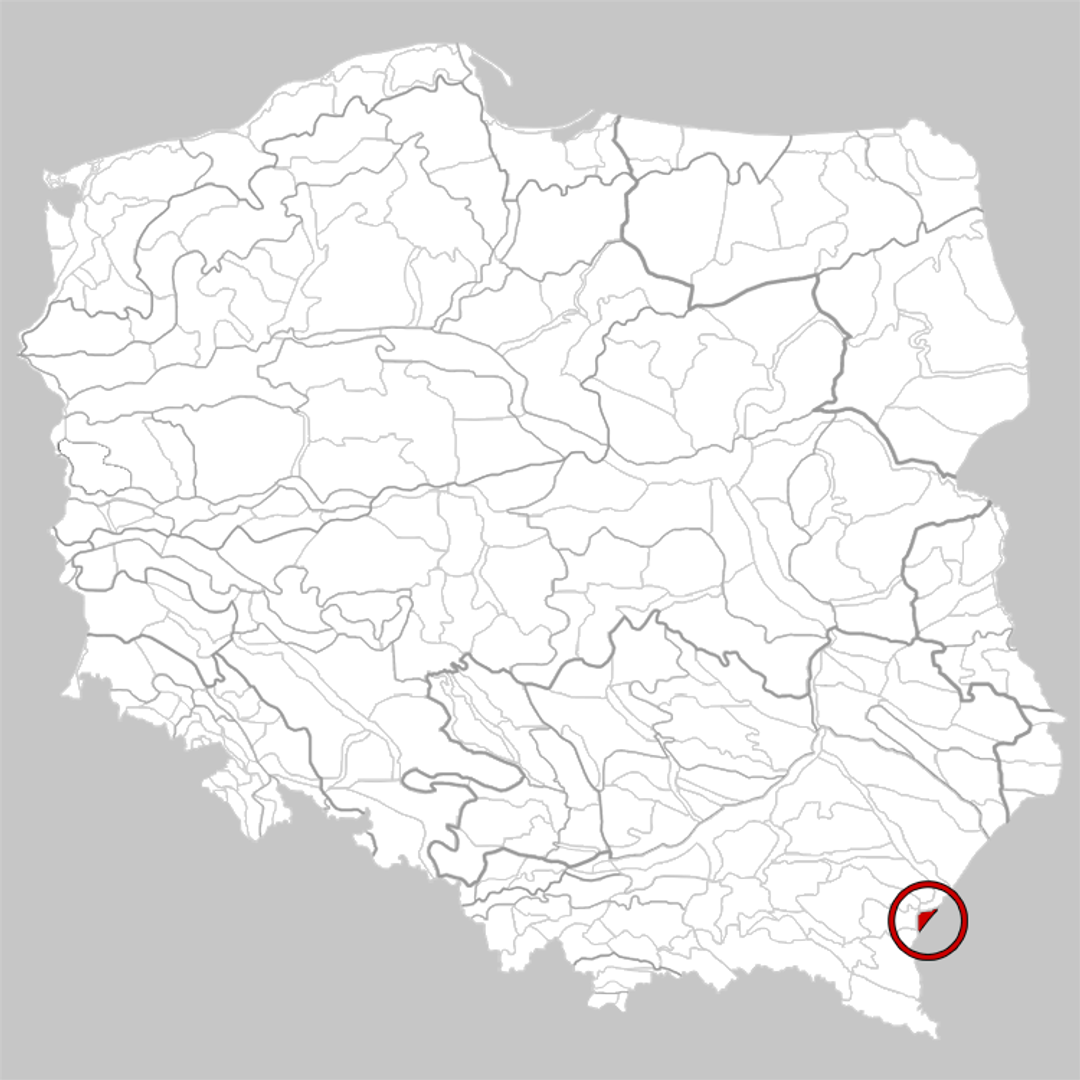
Przemyśl
8.44
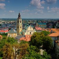
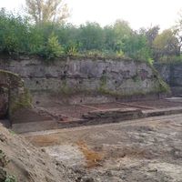
Fort V "Salis Soglio"
7.34
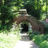
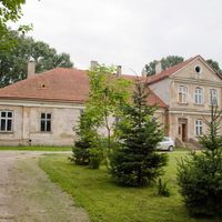
Lubomirski Palace in Przemyśl
7
Przemyśl
Fort W III "Łuczyce"
6.91
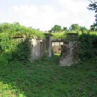
Fort GW II "Jaksmanice"
6.8
Hurko
6.78

Fort V "Grochowce"
6.53
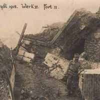
Fort GW IV "Optyń"
6.52

Archdiocesan Cathedral Parish of the Assumption of the Blessed Virgin Mary and St. John the Baptist in Przemyśl
6.3
Przemyśl
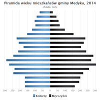
Medyka
6.23
2026 Wizytor | All Rights Reserved