Hrubieszów Valley
6.65
Overview
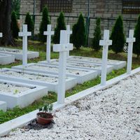
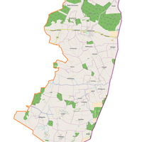
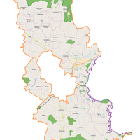
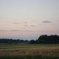
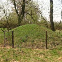
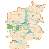
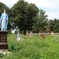
The Hrubieszów Basin, a physiogeographic mesoregion located in southeastern Poland and extending into Ukraine, covers an area of 738 km² and forms the eastern extension of the Zamość Trench. Shaped primarily in Cretaceous marls, it features a flat terrain with alternating layers of loess, alluvial soils, sands, and marls. The region is traversed by the Bug and Huczwa rivers, with the latter dividing the basin into two parts of varying elevations, reaching a maximum height of 220 meters above sea level at the Horodło Ridge. The dominant soil types are chernozems and brown soils, which support developed agriculture, particularly the cultivation of wheat and sugar beets. The area is characterized by flat, drainless depressions and a lack of young erosional cuts. The landscape was shaped by Pleistocene and Holocene cycles of erosion and accumulation, forming extensive terrace plains. The main socio-economic center of the basin is Hrubieszów, along with the village of Werbkowice, both historically and contemporarily important points in the region. The Hrubieszów Basin is distinguished by a rich history with influences from various cultures, reflected in local architecture and traditions. It is also worth noting the numerous historical monuments, such as churches and Orthodox churches, which testify to the centuries-long presence of different nations and faiths in the area. The region offers picturesque landscapes and unique natural conditions, making it an interesting destination not only for residents but also for tourists. The basin is also notable for its traditions related to handicrafts and local crafts, preserved by rural communities.
Location

2026 Wizytor | All Rights Reserved