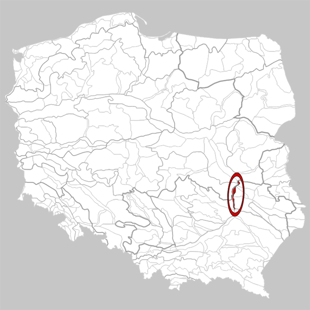
Małopolska Vistula Gorge
6.61
Overview
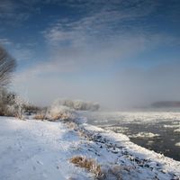
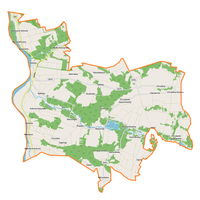
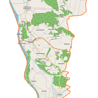
The Małopolska Vistula Gorge is a physiographic mesoregion located in east-central Poland, encompassing the Vistula River valley where it cuts through the Polish Uplands. The region is surrounded by diverse geographical formations and stretches approximately 70 km in length, from Zawichost to Puławy. The steep valley slopes rise 60–70 meters above the river level, and the valley floor is covered with river alluvium, which is flooded during high water levels. The area is densely populated and primarily agricultural, with major urban centers such as Kazimierz Dolny and Annopol. Other notable towns in the region include Józefów nad Wisłą, Bochotnica, Janowiec, and Wilków, each known for their rich traditions and cultural heritage.
The Małopolska Vistula Gorge originates from the Nadwiślańska Lowland in the south and transitions into the Middle Vistula Valley to the north, creating a unique landscape of significant natural value. The region includes two Natura 2000 protected areas, underscoring the ecological importance of the valley, which is recognized as a valuable ecological corridor at the European level. Interestingly, the natural state of the Vistula River in this area attracts both tourists and researchers interested in its unique ecosystems.
The history of the region dates back to medieval times, and Kazimierz Dolny, with its Renaissance architecture and picturesque scenery, has become a popular destination for artists and tourists. Various cultural festivals are held in the area, promoting local art, history, and traditions. Thus, the Małopolska Vistula Gorge is a place of rich history, outstanding natural beauty, and vibrant culture, attracting both visitors and researchers alike.
Location


2025 Wizytor | All Rights Reserved