Western Roztocze
6.58
Overview
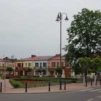
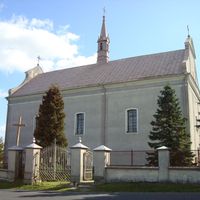
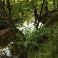
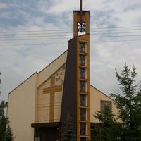
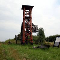
Western Roztocze is a physical-geographical mesoregion in southeastern Poland, forming one of the three parts of the Roztocze region. It is characterized by distinctive landscapes, with its terrain wedging like a wedge into the Lublin Upland. The boundaries of Western Roztocze extend from the Urzędów Heights in the northwest, through the Zamość Dale in the north, Central Roztocze in the east, to the Biłgoraj Plain in the south. The region is divided into Gorajskie Roztocze, located west of the Gorajec River valley, and the smaller Szczebrzeszyn Roztocze, which lies between the Gorajec and Wieprz river valleys. From a geological perspective, Western Roztocze is composed mainly of Upper Cretaceous rocks, particularly opoka limestone. The hills are covered with forests, and their surfaces are cut by numerous ravines, giving the area a picturesque character. The elevations range from 300 to 344 meters above sea level. The region lies entirely within the Lublin Voivodeship and encompasses five counties: Kraśnik, Janów, Lublin, Biłgoraj, and Zamość. It stretches from the vicinity of Kraśnik to Szczebrzeszyn, and within Western Roztocze, there are also towns such as Frampol, Godziszów, Chrzanów, Tereszpol, Zakrzówek, Goraj, Batorz, Radecznica, and Szastarka. It is worth noting that the region combines rich cultural and historical traditions, with numerous architectural monuments, including wooden churches and monasteries, attracting tourists. Western Roztocze is not only about beautiful nature but also interesting cultural and folk events, whose history dates back centuries. The region also has its unique cuisine, abundant with local delicacies. Thanks to its wealth of nature, architecture, and traditions, Western Roztocze is an important point on Poland's tourist map.
Location


2026 Wizytor | All Rights Reserved