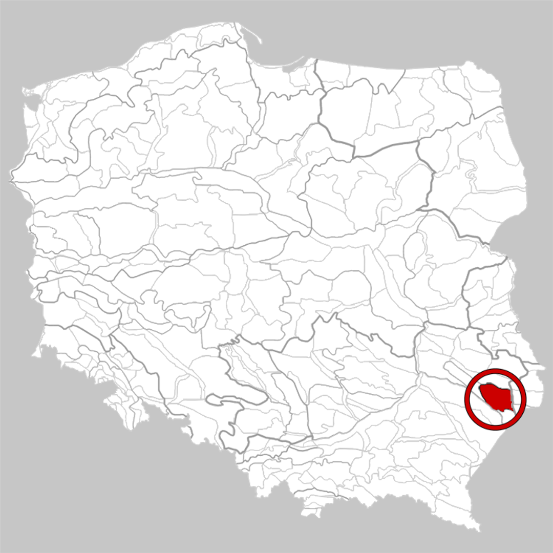
Central Roztocze
6.64
Overview
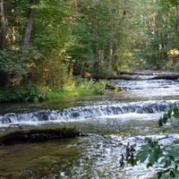
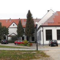
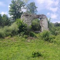
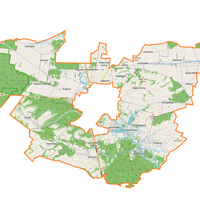
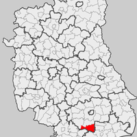
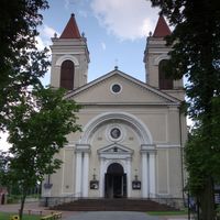
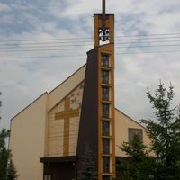
Central Roztocze, also known as Tomaszów Roztocze, is a physiographic mesoregion located in southeastern Poland, encompassing mainly the Lublin Voivodeship and part of the Podkarpackie Voivodeship. The region is characterized by its upland terrain, with the highest points reaching an altitude of 385 meters above sea level near Wapielnia. Geologically, the area is composed of Miocene sandstones and lithothamnium limestones, rarely covered with loess. Central Roztocze is a heavily forested area, which supports rich biodiversity. It is home to attractions such as the Roztocze National Park and the Krasnobrodzki Landscape Park, drawing tourists with their natural beauty, numerous hiking and cycling trails, and waterfalls in the valleys of the Wieprz, Sołokija, and Tanew rivers. Architecturally, the region boasts numerous historic sites, including charming churches, palaces, and traditional rural buildings that reflect local history and culture. It is worth noting unique natural monuments, such as the Weeping Stone—a mysterious rock formation that intrigues both tourists and scientists. Historically, the region has witnessed many significant events, and its residents preserve local traditions and customs, making Central Roztocze an attractive destination for exploring cultural heritage. Within this mesoregion, there are six towns, including Tomaszów Lubelski, Szczebrzeszyn, and Zwierzyniec, as well as many other localities with rich traditions. The region stretches from Szczebrzeszyn to Narol, offering tourists numerous opportunities for active recreation and exploration of local culture and history. Combining natural beauty with a wealth of cultural heritage, Central Roztocze is a significant point on Poland's tourist map.
Location
You can also find here:


2026 Wizytor | All Rights Reserved